Mahanadi River | Mahanadi River Map, System, Pollution, History and Importance

Mahanadi River

It is one of the major rivers in the East-central of India. It uses up around  54,600 sq miles and is totally 533 miles long. It flows through Odisha, Chhattisgarh and Madhya Pradesh. Mahanadi river plays an important role as it provides water for agriculture and helps in the growth of fisheries in different areas of the state.

Top 10 Largest Rivers in India, you would also find the details about Indian River Systems and major rivers of India.

Mahanadi River Details

Origin No defined origin.
Other names kanak nandini, Chitrotpala, Treata Yoga
length 858 Kilometers
Average Depth Maximum -877m and minimum-193m
Average Water Flow 2,000,000 cubic feet per second
Importance Transport, irrigation, fisheries, tourism
Reasons for pollution Sewage disposal

About the Mahanadi River

This is an active river that starts from the uphills of Chhattisgarh. It is one among the most-active silt-depositing streams within the Indian subcontinent. The upper course of Mahanadi runs north as an insignificant stream that goes on to draining the eastern Chhattisgarh Plain. Then after meeting with  Seonath River, below Baloda Bazar, it turns east and enters Odisha, its flow augmented by the drainage of hills to the north and south.

The Hirakud Dam which is found in Sambalpur, the river has formed a man-made lake 55 km long; the dam has several hydroelectric generators. Right below the dam, the Mahanadi river turns along south to a tortuous course, by just barely touching the Eastern Ghats through the thick forests. Along the east, it enters through Odisha plains which is close to Cuttack and from there it enters the Bay of Bengal through several channels. .

Mahanadi River History

The river’s name comes from the Sanskrit word Maha which means great and the word Nadi which means river. During different periods of time it was referred to by different names such as Kanak Nandini, Chitrotpala,Nilotpala, Mahananda and Mahanadi or Mahashweta.  It uses up around  54,600 sq miles and is totally 533 miles long. It flows through Odisha, Chhattisgarh and Madhya Pradesh.

The River Mahanadi has its historical roots deeply associated with the places it flows through that is Odisha, it deposits more slit in this region than any other river in the country. In ancient times Sambalpur and cuttack were very important trading places in the state and that provided the state with most of its income at one point of time. Sambalpur was an important city for the business of diamonds.The river has a lot of historical importance and recently an ancient temple has resurfaced in Odisha, the temple’s architecture predates the 15th or 16th century.

Mahanadi River Map

For the initial 80 km of the river, it runs consistent with a northerly itinerary and connects with the eastern parts of the Raipur district in Chhattisgarh. The river is sort of thin at this place, the general span of this Basin doesn’t pass 500-600 meters. After which, the river moves into the old Bilaspur District in Chhattisgarh where it connects the primary important tributary of the river, which is understood as Seonath.

Then the Mahanadi River meets the Seonath from there combined stream runs to the east across the remainder of its itinerary. The Hasdeo and Jonk Rivers meet the river during this area before getting into Orissa, once it’s completed around 50% of its overall stretch. on the brink of the Sambalpur City, the river is barraged by the Hirakud Dam, which is the biggest earth fill dam within the world. A fused construction of stonework, soil, and concrete that covers the length of the dam (24 km). The stretch of the river covers two dams. It also covers two mountains – the Chandili Dunguri on the proper and Lamdungri on the left. Within the Asian continent, the river creates the most important reservoir with a basin carrying a maximum capacity of 743 km with a coastline of quite 640 km.

Mahanadi River system

Within the Asian continent, the river creates the most important reservoir with a basin carrying maximum capacity of 743 km with a coastline of quite 640 km.It flows through Odisha, Chhattisgarh and Madhya Pradesh. The upper course of Mahanadi runs north as an insignificant stream that goes on to draining the eastern Chhattisgarh Plain. Then after meeting with Seonath River, below Baloda Bazar, it turns east and enters Odisha, its flow augmented by the drainage of hills to the north and south. The various banks it touches are Raipur, Betul, Bilaspur, Janjgi, Subarnapur, Sambalpur, Angul, Boudh, Kendrapara, Cuttack, Sonepur, Sambalpur, Subalaya, Birmaharajpur, Boudh.
Mahanadi River Pollution

Today rivers are plagued with problems of pollution, extensive usage of their water resources and the gradual decay in water quality thanks to the disposal of each possible sort of waste. The release of biomedical waste, industrial sewage and municipal sewage has created very toxic areas in several parts of Odisha.

What was once a flowing river with clear water has witnessed a deterioration in its water quality within the last four decades, primarily thanks to severe pollution. Usage of water from Mahanadi was already extensive within the state thanks to agriculture and industry. Over a previous couple of decades, increase in towns, cities and concrete clusters has resulted in additional problems of household waste disposal, small factories disposing chemical waste into the river’s bank and the excessive use of the water has also caused it to fall in such a shape

Mahanadi Rivers Importance

The river is considered the lifeline of the Chhattisgarh. It also has a lot of cultural and religious importance as well. It has also provided trade and agriculture for the state of Odisha.
The basin of the river receives about 90% of its rainfall during the monsoon season. Generally, the southwest monsoon sets by the centre of June over the whole basin and remains active till the top of September. The spatial variation in rainfall is moderate within the basin. The formation of depressions within the Bay of Bengal causes cyclones, which cause widespread heavy rains leading to floods and destruction.

The average annual runoff of Mahanadi is 66.9 Billion kiloliters. Totally The t basin receives rainfall in uneven patterns thus drought is prevalent in some districts. Total fourteen districts within the basin are covered under the Drought Prone Area programme.

Districts Jagatsinghpur, Puri and Kendrapara which are situated near coastal parts of Mahanadi face water logging problems.

The main soil types found within the basin are red and yellow soils. There is also black soil and mixed red soil that occur in parts of the Sundargarh, Sambalpur, andBolangi districts of Orissa. Laterite soil is found within the lower parts of Orissa. The deltaic soil is found within the coastal plains of the Mahanadi. Black soil and sandy soil with Kankar are the most soils found within a part of the basin lying in Chhattisgarh.

Short Essay on Mahanadi River

The Mahanadi river is one among the prominent rivers in the country. It holds major importance over the states of  Odisha, Chhattisgarh and Madhya Pradesh as it provides for a lot of the agricultural practices and the various religious and cultural aspects of the state.It is one among the most-active silt-depositing streams within the Indian subcontinent. The upper course of Mahanadi runs north as an insignificant stream that goes on to draining the eastern Chhattisgarh Plain.

The River Mahanadi has its historical roots deeply associated with the places it flows through that is Odisha, it deposits more slit in this region than any other river in the country. The river’s name comes from the Sanskrit word Maha which means great and the word Nadi which means river. It uses up around  54,600 sq miles and is totally 533 miles long. . In ancient times Sambalpur and Cuttack were very important trading places in the state and that provided the state with most of its income at one point of time. The river has helped provide trade and business for the states it flows through.

Within the Asian continent, the river creates the most important reservoir with a basin carrying maximum capacity of 743 km with a coastline of quite 640 km. The various banks it touches are Raipur, Betul, Bilaspur, Janjgi, Subarnapur, Sambalpur, Angul, Boudh, Kendrapara, Cuttack, Sonepur, Sambalpur, Subalaya, Birmaharajpur, Boudh.

Mahanadi River

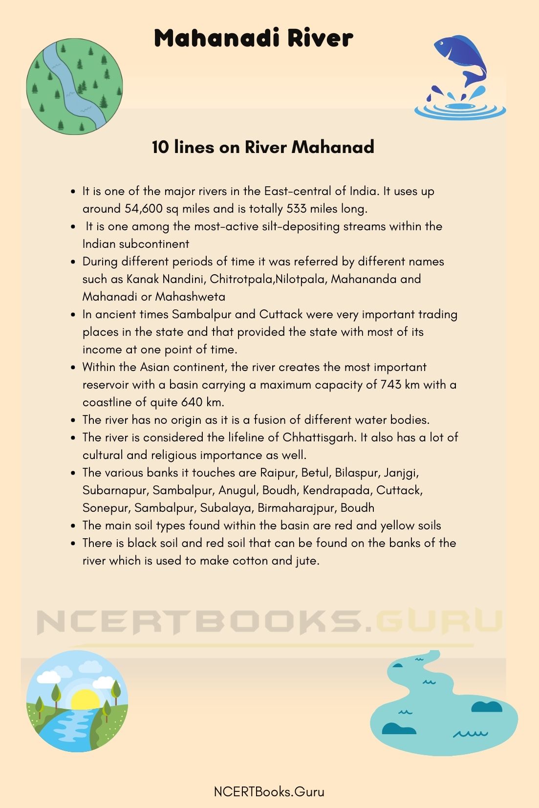
10 Lines on River Mahanadi

  • It is one of the major rivers in the East-central of India. It uses up around  54,600 sq miles and is totally 533 miles long.
  •  It is one among the most-active silt-depositing streams within the Indian subcontinent
  • During different periods of time it was referred by different names such as Kanak Nandini, Chitrotpala,Nilotpala, Mahananda and Mahanadi or Mahashweta
  • In ancient times Sambalpur and Cuttack were very important trading places in the state and that provided the state with most of its income at one point of time.
  • Within the Asian continent, the river creates the most important reservoir with a basin carrying a maximum capacity of 743 km with a coastline of quite 640 km.
  • The river has no origin as it is a fusion of different water bodies.
  • The river is considered the lifeline of Chhattisgarh. It also has a lot of cultural and religious importance as well.
  • The various banks it touches are Raipur, Betul, Bilaspur, Janjgi, Subarnapur, Sambalpur, Anugul, Boudh, Kendrapada, Cuttack, Sonepur, Sambalpur, Subalaya, Birmaharajpur, Boudh
  • The main soil types found within the basin are red and yellow soils
  • There is black soil and red soil that can be found on the banks of the river which is used to make cotton and jute.

FAQs on Mahanadi River

Question 1
What is the source for the Mahanadi river?

Answer:
The river’s source is a fusion of hilly torrents so the exact source of the river cannot be defined

Question 2
Where does Mahanadi get its name from?

Answer:
The river’s name comes from the Sanskrit word Maha which means great and the word Nadi which means river. During different periods of time it was referred by different names such as Kanak Nandini, Chitrotpala, Nilotpala, Mahananda and Mahanadi or Mahashweta.

Question 3
Which dam is built over Mahanadi?

Answer:
The Hirakud Dam is built over the Mahanadi river.

Question 4
State the importance of the Mahanadi river.

Answer:
The river is considered the lifeline of Chhattisgarh. It also has a lot of cultural and religious importance as well. It has also provided trade and agriculture for the state of Odisha.

Krantiguru Shyamji Krishna Verma Kachchh University Courses | KSKVKU Syllabus

Krantiguru Shyamji Krishna Verma Kachchh University

Krantiguru Shyamji Krishna Verma Kachchh University is a Premier Educational Institution that offers undergraduate, postgraduate programs. Candidates can refer to the KSKVKU Courses and Syllabus 2020 with the information prevailing on this page. Avail the detailed KSKVKU Syllabus for various courses and other important information.

Go through the various academic programs offered by the University. Every Year the Institute accepts applications from candidates who have completed or likely to finish their required courses this year. You will have more than 8 Specializations at the Undergraduate level and 6 at Post Graduate Level. Aspirants will be given Admission to the institute based on their scores in the Entrance Exam. Students will be selected purely on merit basis.

Also, See: M.Phil Course Details

KSKVKU Courses & Syllabus 2020

University Krantiguru Shyamji Krishna Verma Kachchh University
Page information & Location Krantiguru Shyamji Krishna Verma Kachchh University Courses & Syllabus, Gujarat
Offered Courses UG, PG, M.Phill, and Ph.D.
Website Click here

Krantiguru Shyamji Krishna Verma Kachchh University Details

Eminent Leader Shyamji Krishna Verma of Mandvi, Kachchh motivated the independence movement outside India and thus the name of University is given as Krantiguru Shyamji Krishna Verma Kachchh University. The University began with 10 Colleges initially and now has grown up to 28 colleges with more than 15,000 Students and 200 Faculty in Arts, Commerce, Science, Education, Law, Technology including Engineering and Pharmacy.

University is known for providing higher education on par with any other College or University across India. KSKVKU University conducts Semester Exams Twice in a year and it is necessary for the students to know about Syllabus for their applied course. Have an idea on the Course and Syllabus related information of the University by referring to the Later Modules.

KSKVKU Course Details

Krantiguru Shyamji Krishna Verma Kachchh University offers Undergraduate, Post Graduate, M.Phil as well as P.hd Courses. You can have B.A, B.com, MA, M.com under UG & PG Programs. Have a glance at the Courses and Departments prevailing in the University by referring below.

Krantiguru Shyamji Krishna Verma Kachchh University Courses

KSKVKU Courses

  • Bachelor of Arts ( B.A. )
  • Bachelor of Commerce (B.Com.)
  • Bachelor of Science (B.Sc.)
  • Bachelor of Computer Application (B.C.A.)
  • Bachelor of Business Administration (B.B.A.)
  • Bachelor of Education (B.Ed.)
  • Bachelor of Laws (LL.B.) –
  • Bachelor of Physical Education (B.P.Ed.)
  • Bachelor of Education (B.Ed. (Special))
  • Bachelor of Science (B.Sc. (Nursing))
  • Master of Arts (M.A.)
  • Master of Commerce(M.Com.)
  • Master of Science (M.Sc.)
  • Master of Social Work (M.S.W.)
  • Master in Business Administration (M.B.A.)
  • Master in Business Administration (M.B.A. (Integrated))
  • Master of Science (Computer Application & Information Technology) M.Sc. (CA & IT) (Integrated)
  • Master in Public Administration (M.P.A.)
  • Master in Education (M.Ed.)
  • Master in Philosophy (M.Phil.)
  • Bachelor in Medicine and Bachelor in Surgery (M.B.B.S.)
  • Post Graduation Diploma in Computer Application (PGDCA)
  • Post Graduation Diploma in Human Resource Management (PGDHRM)
  • Doctor in Philosophy (Ph.D.)
  • Bachelor of Physiotherapy (B.P.T.)

Krantiguru Shyamji Krishna Verma Kachchh Departments

  • Department of Gujarati
  • Department of Sanskrit
  • Department of English
  • Department of Economics
  • Department of Commerce & ManagementM.Com
  • Department of Earth & Environment Science
  • Department of Education
  • Department of Chemistry
  • Department of Computer Science
  • Department of Social Work
  • Department of Public Administration
  • Department of Archeology
  • Department of Sociology
  • Department Psychology

Krantiguru Shyamji Krishna Verma Kachchh University Syllabus

We gave Syllabus for the KSKVKU for the year 2017-18. Candidates who wish to score max. marks in the examination can refer to the KSKVKU Course Syllabus and prepare accordingly. Improve your problem-solving skills and accuracy in the exam by making use of the KSKVKU Exam Syllabus PDFs available on this page. Access the Study Material and Notes over here to score max. marks in the exam. Avail the stream and its related exam syllabus by going deep into the article.

Faculty of Science

Faculty of Commerce

Faculty of Arts

Also, Refer: B. Pharm Course Details

KSKVKU Old Syllabus

Candidates studying under the Krantiguru Shyamji Krishna Verma Kachchh University should be aware of the Syllabus in advance. We tried mentioning the Syllabus of KSKVKU Courses as it remains the same almost every year but with slight variations. Refer to the KSKVKU Course Syllabus for the academic year.

Faculty of Commerce

Faculty of Arts

Faculty of Science

Faculty of Arts

Faculty of Commerce

Syllabus – Choice Based Credit System – Under Graduate
Faculty of Science

Syllabus – Choice Based Credit System – Post Graduate

FAQs on KSKVKU Courses

1. What Courses are the University Best Known For?

The University is famous for MD and BBA Courses.

2. What Reservation Criterion is set by the University?

University provides different percentages of reservation for various categories. SC- 15%, OBC/NCL – 7%, ST- 7%, PWD – 3%.

3. When is the admissions of KSKVKU going to begin?

Admissions for Krantiguru Shyamji Krishna Verma Kachchh University begin from July 2020.

Summary

We wish the information shared above regarding Krantiguru Shyamji Krishna Verma Kachchh University Courses & Syllabus has been useful to you. If you like the article share it among your friends and spread the knowledge. Stay connected to our site for Latest Updates regarding KSKVKU Courses & Syllabus.

Tapi River | Tapi River Map, System, Pollution, History and Importance

Tapi River

River Tapi, also known as Tapti originates in central India between and channel as the middleman between the rivers Godavari and Narmada. River Tapi channel towards the west side before draining into the Arabian Sea. The River has a length of 724kilometre and flows through three distinct states- Maharashtra, Gujarat, and Madhya Pradesh. The three primary tributaries of River Tapti are Purna, Panjhra, and Girna.

Top 10 Largest Rivers in India, you would also find the details about Indian River Systems and major rivers of India.

Tapi River Details

Name of the River Tapi River
Source of Origin Multai, Madhya Pradesh
Location Center of the Deccan plateau
Tributaries Purna, Girna, and Panjhra
Length 724 kilometres (450 mi) approx.
Importance Agriculture, Irrigation, and Transportation
Pollution Urban Domestic Wastewater and Industrial Wastewater

Disposal of Nitrogen and Potassium compounds

About Tapi River

Tapi River, also known as Tapti, is a river in central India, rising in the hills of Gawilgarh located in the Central Deccan plateau in South-Central of Madhya Pradesh. The River flows in the westward direction between two spurs of the Satpura Range and courses across the Jalgaon plateau region in the state of Maharashtra and then rushes towards the plain of Surat in the state of Gujarat and finally, to the Gulf of Khambhat- an inlet of the Arabian sea.

The Tapi River flows parallel to River Narmada to the North, from which it gets separated by the central part of the Satpura Range. The intervening range and the valleys of the rivers form the natural barrier between the Peninsular and Northern India. Tapi River holds three primary tributaries- the Girna, Panjhra, and Purna that flow from the south in the state of Maharashtra.

Tapi River History

The Tapi river originates from the Betul district in a place known as Multai. The word Multai is an amalgamation of Sanskrit words which means ‘the origin of Tapi Mata’. The total length of River Tapti is around 724 kilometre and drains an area of 30,000 square. Metre. According to Hindu mythology, the name- Tapi is derived from the word of the Goddess Tapi, the daughter of Lord Surya and  Goddess Chhaya.

The history of River Tapi is deeply associated with the history of the places through which it flows across. Western India’s River starts its origin in the Betul district of Madhya Pradesh and then channels its movements between the spurs of the Satpura Hills, across the plateau of Khandesh, followed by the plains of Surat, and finally merges with the Arabian sea.

The history of the River is closely associated with its Anglo-Portuguese account. The upper reaches of the Tapi river are recently deserted as the region faces silting at the outflow of the River, and therefore, is not used for irrigation purposes.

Tapi River Map

Tapi River, also known as the Tapti River is the major River in Central India and originates at Multai, Madhya Pradesh. The River stretches at a length of about 724 kilometres and is considered to be one of the most important rivers in the whole of peninsular India.

The Tapi River Basin covers a territory of 65,145 km², which is almost two per cent of the entire Indian region. The catchment area of the River is situated in three different states- Madhya Pradesh- with a catchment area of 9,804 km², Maharashtra- with a catchment area of 51,504 km², and Gujarat with a Catchment area of 3,837 km².

The catchment areas of the River is principally located in the Northern and Eastern Districts of the state Maharashtra, including Washim, Jalgaon, Akola, Nandurbar, Amravati, Buldhana, and Nashik districts.

The Tapi River drainage basin briefly covers the districts of Burhanpur and Betul in the state of Madhya Pradesh and the district of Surat in the state of Gujarat.

Tapi River System

The River Tapi rises in Central India and is one of the prominent rivers of the Northern and Peninsular India. Tapi River stretches at the length of around 724 kilometres and is the only river that runs from the East to the West.

The River Tapi is the second-largest inter-state river basin that shifts towards the westward side covering a large area in Maharashtra besides the areas of Madhya Pradesh and Gujarat. The River drainage covers an area of 65145 square. kilometres out of which almost 80 per cent of the region lies in the state of Maharashtra.

The Tapi receives several tributaries on both banks and homes almost 14 significant tributaries. However, the drainage system present on the left bank of the River Tapi is more extensive than the right bank area of the River.

Tapi River Pollution

The Tapi River supports several class-I towns, many of which are well-known for their industrial activities. About 80 per cent of the domestic waste and about 70 per cent of the industrial waste are disposed into the River as wastewater.

One of the primary and significant contributors to pollution loads are the largely untreated industrial effluents and urban waste. The total BOD load is about 488 tons per day, that is, about 39 per cent and this part are highly contributed by the urban domestic wastewater and the 21 per cent contribution followed by the surrounding industries.

The total carry-over amount of the nitrogen and potassium compounds are about 10 per cent, and this problem was aggravated during the months of summer when the river flow is considerably reduced.

Tapi River Importance

The historical importance of the River Tapti dates back to the earlier times when the Tapi River at Surat played a vital role as the major ports were used frequently for exports of several goods. The Rive Tapi was also an essential halt destination for Muslim pilgrimage called Haj to Mecca.

A significant feature of the River Tapi is that the river sets apart from other Indian rivers as it drains into the Gulf of Khambhat. River Tapti has a very high-quality and richly fertile soil that is highly suitable for agricultural activities and is the most significant advantage for the farmers residing in the area.

The tribal and rural population around the Tapti River helps the people to harvest a large number of chief crops and sell it in the market to earn their livelihood. The River is also heavily used for irrigation reasons. The River also provides a means for transportation for the people living on the river banks.

The Tapi River is the home to the natural habitats of several wild and exotic animals including tigers, lions, snakes, sloth, bears, and many more.

Short Essay on Tapi River

Tapi river is one of the many rivers in India. The River rises in the Satpura Mountains in the Betul district of Madhya Pradesh and channels its 724-kilometre long course through the states of Madhya Pradesh, Maharashtra, and Gujarat before finally merging into the Gulf of Khambhat. The River Tapi is situated at the centre of the Deccan plateau, thus known as the river of Central India.

The point of origin of the River is the Satpura range, one of the most favourable habitats and homes of several wild animals. The River is named after Hindu mythology  Goddess- Goddess Tapi, daughter of Lord Surya and Goddess Chhaya.

The last 51 kilometre of 32 miles is a tidal region but navigable by small vessels. At the River’s mouth, a well-known deserted Anglo-Portuguese port known as the Port of Swally Hole is located.

The River forms a barricade between the two river valleys and the intervening range between the Northern and Peninsular India. The River comprises three major tributaries- the Panjhra, Girna, and Purna, which flow from the south in the state of Maharashtra.

River Tapti has a significant extent of religious and cultural importance and has rich, fertile soil that is highly suitable for agricultural activities. However, the Tapi River supports several class-I towns that are well-known for their industrial activities.

Tapi River

10 Lines on Tapi River

  • River Tapi is one of the many rivers in the Indian Peninsular.
  • The Tapi river’s source of origin is at Betul, a small village in Madhya Pradesh.
  • The river gets its name after the Hindu Mythological Goddess Tapi, the daughter of Goddess Chhaya and Lord Surya.
  • River Tapi comprises many tribal and rural groups residing in the surrounding areas which are highly dependent on the river for survival.
  • River Tapi channels its way through the Satpura hill, and then towards the region that is 752 meters above the sea level.
  • The river channels through Central and Western India between two prominent Rivers-Narmada and the Godavari and then through three Indian states- Maharashtra, Gujrat, and Madhya Pradesh.
  • The Tapi River finally drains into the Gulf of Khambhat.
  • The Tapi river is known as the ‘Gateway of International trade’ as it conducts much international trade.
  • The soils in the religious surrounding the Tapi river are rich in nutrients and minerals, which makes the soil very fertile.
  • Sagar Dam, the second-largest dam in the country is built across the Tapi River.

FAQs on Tapi River

Question 1.
Where does the name ‘Tapi to Tapti’ come from?

Answer:
The name ‘Tapi’ is derived after the Goddess Tapi, the daughter of Goddess Chhaya and Lord Surya from the Hindu Mythology.

Question 2.
State all the main tributaries of River Tapi.

Answer:
River Tapi holds fourteen tributaries. However, a few of the main tributaries of River Tapi are Purna, Panjhra, Girna, Vaghur, Bori, and Aner.

Question 3.
Which dam is built over the Tapi River to provide water to the surrounding areas?

Answer:
The second-largest dam in the country is the Sagar Dam which is built across the Tapi river.

Question 4.
Name two features that highlight the importance of the River Tapi.

Answer:

  • River Tapti has a very high-quality and richly fertile soil that is highly suitable for agricultural activities and is the most significant advantage for the farmers residing in the area.
  • The River also provides a means for transportation for the people living on the river banks.

MS University Courses and Syllabus 2023 | Download MS University Syllabus PDF

MS University Courses and Syllabus

MS University Courses & Syllabus: Aspirants who got admission in the MS university might be searching for Courses and Syllabus everywhere. To help all of them, we have provided detailed information regarding MS University Courses & Syllabus. Check out the Latest MS University Syllabus for all courses semesterwise. Get to know the various academic programs offered by the University.

We even mentioned the UG, PG, P.hd Courses Syllabus for your convenience. You will have BA, B.Com., BBA, B.L.I.Sc., and B.Sc. at UG Level in University’s Affiliated Courses. University provides M.A, M.Sc.,  M.E., M.Ed., MJMC, MCA, M.P.Ed., M.Tech., M. Com, MSW, MBA, MHRD courses at the PG level. Lateral Admission Options are also available for BCA and MCA Courses.

About MS University

The University began in the year 1990 as teaching cum affiliating university by the Government of Tamilnadu. It was started to cater to the long-felt needs of three southern districts of Tamilnadu namely Tirunelveli, Tuticorin, and Kanyakumari.

It is named after the renowned Tamil Poet Scholar P. Sundaram Pillai author of famous drama Manonmaniam. Tamil Thaai Vazhthu” the official invocation song sung in all functions of Tamilnadu is his poem.

MS University Courses & Syllabus

University Manonmaniam Sundaranar University
Location Chepauk, Triplicane, Chennai, India
Offered Courses UG, PG, Ph.D. and M.Phil Courses
Official Website Click Here
Courses &  Syllabus Available Now

MS University Courses

We have mentioned the courses that MS University provides right from Professional ones to UG, PG related ones. Have a glance at them and join the one you wish for. They are as under

Professional Courses

  • MBA
  • MCA

UG Courses

  • BA
  • BBA
  • B.Com
  • B.A(Hindi)
  • BCA
  • B.SC(Statistics)
  • B.Li.SC
  • B.Literature

PG Courses

  • MA(Tourism & Management)
  • MA(Criminology and Political Science)
  • MCom
  • M.SC(Psychology)
  • M.SC(Software Technology and Management)
  • M.SC(Mathematics)
  • M.SC(Environmental Science)

Also, check:

Download MS University Syllabus

Before attending any examination most of the aspirants search for MS University Syllabus everywhere. Keeping all such aspirants in mind we have come up with Syllabus for all courses in the University. Refer to the article completely to access the direct links to download the MS University Course Syllabus. You can avail university syllabus from the Official Site too. If you have any confusion go through the simple and easy steps on how to download the MS University Syllabus PDF from the official website.

If you want to prepare better or want to have an idea on the entire syllabus in advance before beginning the academic session Knowledge of MS University Syllabus is a must.

Affiliated Colleges

Distance Education Syllabus

Have a look at various Distance Education Courses available in India.

to check MS University Syllabus?

  • Visit the Official Website of the University i.e. www.msuniv.ac.in
  • You will be directed to a home page, click on the Academics Tab in that.
  • From the list of options available click on the Affiliated Colleges.
  • There you can find the syllabus of both UG and PG Courses.
  • For Distance Education Syllabus tap on the Distance Education Tab on the homepage.
  • Thus, you will be directed to another page.
  • Click on the Learning Materials Tab on the home page.
  • Select the required course you wish to view the syllabus from the list of options.
  • View and Download the Syllabus PDFs for further reference.

MS University Courses and Syllabus

FAQs on MS University Courses and Syllabus

1. What are the courses available in MS University?

You will have various UG, PG, P.hd Programs to take in the MS University. You can join BA, B.Com., BBA, M.A, M.Sc, and many other courses.

2. How to download the MS University Course Syllabus?

You can download it from the PDF link available on this page or visit the Official Website to do so.

3. Where do I find MS University Course Syllabus?

You can find MS University Course Syllabus in detail on our page.

Summary

Hoping the knowledge shared regarding MS University Courses & Syllabus as far as our knowledge is concerned has been beneficial in clarifying your concerns. For more info feel free to leave us your suggestions via comment box and we will help you at the soonest possible.

Wular Lake History, Map, System, Pollution and Importance

Wular Lake

Wular Lake is one of the largest freshwater lakes in India and the entire subcontinent, situated in the district of Bandipora in Jammu and Kashmir, India. The Wular Lake basin is a result that was formed due to tectonic activity, and the source of water is the Jhelum River. The current scenario of Wular Lake is drained due to the consequence of willow plantations, initially built on the shore during the 1950s.

Wular Lake Details

Name of the River Wular Lake
Primary Source of Inflow Jhelum River
Location Bandipora District, Jammu and Kashmir
Length 24 kilometres
Breadth 10 kilometres
Importance
  • Hydrological, biological, and socio-economic values
  • Homes exotic and terrestrial species of birds and fishes
  • Firewood, Plantation area, Agriculture,  and Fishing
Pollution Encroachments, rampant plantation of willows, and siltation

About Wular Lake

Wular Lake is the second-largest freshwater lake in the whole of Asia that is located in a small District of Bandipora in Jammu and Kashmir. The size of the Wular lake differs seasonally from twelve to 100 square miles or 30 to 260 square kilometres.

Wular Lake basin is a formation due to the active tectonic activities and the primary source of water that feeds the Lake is the River Jhelum. It is situated at the foothills of Harmukh Mountain. Wular Lake lies between the towns Bandippore and Sopur in Sangrama, near Baramulla Road.

Wular Lake is said to be a remnant of Satisar Lake, a lake of the ancient times and the premises of this lake was a famous sunset point. At the entrance of the Wular Lake, a project known as the Tulbul Project was constructed to keep the navigation in a lock-cum-control structure.

However, the largest freshwater lake has considerably shrunk over the eight decades and records state that about 27 square metres of the lake has silted up and has turned into a landmass.

Wular Lake History

Wular Lake is the second-largest freshwater lake in the entire subcontinent, and it is the major tributary of the Indus basin. Wular lake plays a vital role in regulating the release of the floodwaters produced due to the glaciers in the surrounding region of the Himalayas.

According to Hindu mythology, Wular lake is said to be the remnants of the Satisar lake, a prehistoric lake that existed at the current site.

During the 1980s, the Central Government of India proposed to construct the Wular barrage to dam water inflow; however, the project was shelved after the rise of militancy in the state.

The Wular Lake is commonly associated with the wetlands as it is an essential habitat for multiple migratory waterbirds within the Central Asian Flyway and also supports a rich biodiversity.

Due to its hydrological, biological, and socio-economic values, the Wular lake falls under the council as a Wetland of National Importance for its intensive conservation and management purposes under the Wetlands Programme of the Ministry of Environment and Forests, Government of India in the year 1986.

In the year 1990, the Wular lake was given the designation as the Wetland of International Importance which falls under the Ramsar Convention.

Wular Lake has played a vital role in supporting biodiversity and livelihoods for decades. Due to the widespread reclamation and drainage of the lake and its marshes for agriculture, settlements and plantations the lake produces hundreds of tons of silt every year.

The rivers Erin, Bohner, and Madamati, arising and channelling its way from the mountain ranges and the rivers Vetasta and the Ningal from the south are the root cause of the uprising silting problem experienced at the site of the Wular Lake.

Wular Lake Map

Wular Lake is one of the largest freshwater lakes in the whole of the Asian subcontinent and is situated at the Bandipora district, Jammu and Kashmir. It is located 50 kilometres away from the central Srinagar city in Northwest India.  The Wular Lake basin is a structure that was formed based on the results of tectonic activities, and the primary source of water that feeds the lake is the Jhelum River.

The Wular Lake is 24 kilometres in length, 10 kilometres in breadth, and the maximum depth of the Lake is 14 metres. The overall size of the Wular Lake is 189 square. Kilometre and lies at an altitude of 1,580 metres.

The Wular Lake controls the channel of the flow of the Jhelum River, which traverses it. At the South-West of the shore, a town of Sopur is present, and to the Northeast, exists an island.

Wular Lake System

Wular Lake, the largest lake in the Jammu and Kashmir territory and the entire subcontinent is present in the northern part of the Indian subcontinent. The Lake is located in the Indian-held sector of the environment and is 10 miles or 16 kilometres long and 6 miles or 10 kilometres wide.

Wular Lake lies at the North end of the  Vale of Kashmir, which is about 20 miles or 32 km North to Northwest of the Srinagar city. The area of the Wular Lake varies from 12 to 100 square miles or 30 to 260 square kilometre according to the season.

Have a look at the List of Important Lakes in India that you need to know for your competitive exams to score well.

Wular Lake Pollution

The second-largest Asian lake has met its end due to the high levels of silting, encroachment, massive plantation, and extension of agriculture fields. These activities have contributed to the shrinkage of the Wular Lake area and degradation of the natural resources.

During the period between 1911 to 2008, due to the overall water spread and marsh areas, the Lake shrunk by over half, reducing almost one-fifth of the area’s water storage capacity. The levels of the ever-increasing populations, encroachments around the Wular Lake has led to the killing of its aesthetic beauty.

Another significant contributor to Wular Lake’s pollution and shrinkage is the plantation of about two million willow trees. The willow trees were the primary source of wood for several insects such as crickets, bats, source of fruits, and the primary contributor of fires.

Additionally, the frequent hits of drought and flood have diminished the water regulation capacity of the wetland leading to a loss in water-holding power and shrinkage of the Wular Lake.

The only way to save the freshwater lake is through a demarcation line so that human intervention can be stopped shortly.

Wular Lake Importance

Wular Lake fosters an essential role in the hydrographic system plan for the Kashmir valley as it helps in the absorption of the basin for annual floodwater.

The lake and its extensive surrounding marshes have a vital flora and fauna collection.  The Wular Lake is a sustainable wintering destination for several migratory waterfowl species such as Shoveler, Little Egret, Mallard, Cattle Egret, and the common Pochard.

The Lake houses exotic species of birds that are enlisted under the RED List of the IUCN such as Pallas’s Fish-eagle and Marbled Tea. However, multiple terrestrial species of birds are observed to be dwelling around the Wular Lake such as Himalayan Pied Woodpecker,  Short-toed Eagle,  Monal Pheasant,  Little Cuckoo, and the European Hoopoe.

Another important fact about the Wular Lake is the habitat for fishes and contributes about 60 per cent of the fish yield in the region of Kashmir valley.

The most governing species of fishes that are found to survive in Wular Lake are multiple species of Schizothorax, Gambusia affinis, Cyprinus carpio, Crossocheilus latius, Barbus conchonius, and species of Nemacheilus. These thriving availability of the species of fishes help more than 8000 fishermen earn their livelihood.

Wular Lake 1

Short Essay on Wular Lake

Wular Lake, the second-largest freshwater lake in Asia, is situated between the towns of Bandipora and Sopore. Wular Lake covers an area of about 125 square kilometres and is the livelihood source of thousands of anglers.

Wular Lake is a natural flood reservoir and water security for Jhelum River as it drains off the excess water. The natural beauty of Wular Lake is its location, situated amidst the snow-clad hills.

Wular Lake is the primary habitat for the exotic avian and Pisces life of the region. The freshwater lake provides about 60 per cent of the fish yield of the Kashmir region and around eight thousand to ten thousand fishers earn their livelihood from this region and supply adequate quantities of fish in the whole state.

The Wular wetlands generate a source of revenue for the State Government through fisheries and sales of fodder, chestnut, and other economically important species. The catchment area of the lake supports various indigenous species such as the alpine pastures and the coniferous forests.

Wular Lake is rich in its biodiversity and socio-economic values and houses multiple exotic and terrestrial birds like sparrow hawk, eared kite, Himalayan pied woodpecker, short-toed eagle, alpine swift, and many more.

Due to its rich biodiversity, Wular Lake was designated as a Wetland of International Importance under the Ramsar Convention in the year 1990. Wular Lake remains as the ideal for a romantic time near the turbulent and shimmering waters.

10 Lines on Wular Lake

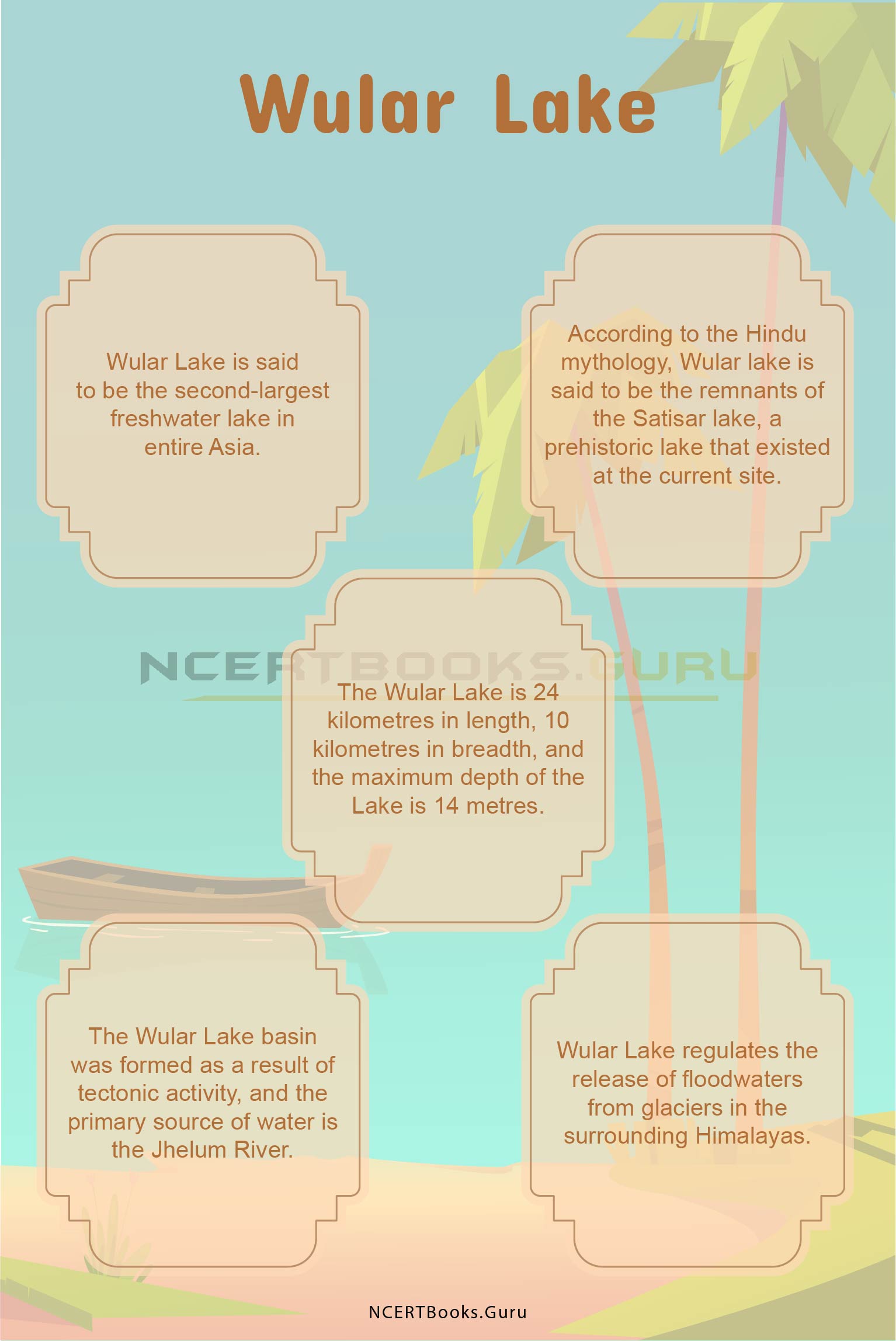
  • Wular Lake is said to be the second-largest freshwater lake in entire Asia
  • According to the Hindu mythology, Wular lake is said to be the remnants of the Satisar lake, a prehistoric lake that existed at the current site
  • The Wular Lake is 24 kilometres in length, 10 kilometres in breadth, and the maximum depth of the Lake is 14 metres
  • The Wular Lake basin was formed as a result of tectonic activity, and the primary source of water is the Jhelum River
  • Wular Lake regulates the release of floodwaters from glaciers in the surrounding Himalayas
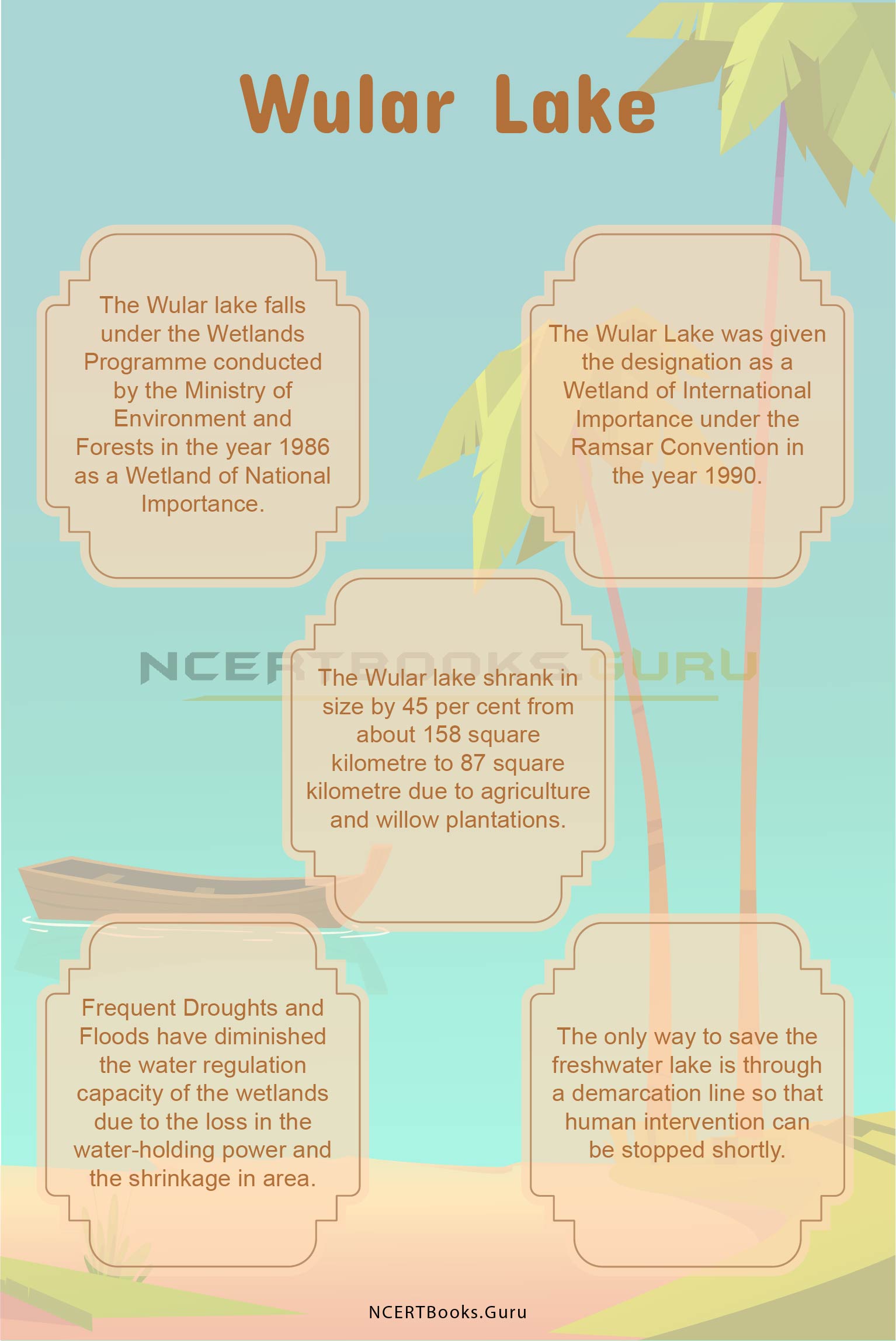
  • The Wular lake falls under the Wetlands Programme conducted by the Ministry of Environment and Forests in the year 1986  as a Wetland of National Importance
  • The Wular Lake was given the designation as a Wetland of International Importance under the Ramsar Convention in the year 1990
  • The Wular lake shrank in size by 45 per cent from about 158 square kilometre to 87 square kilometre due to agriculture and willow plantations
  • Frequent Droughts and Floods have diminished the water regulation capacity of the wetlands due to the loss in the water-holding power and the shrinkage in area
  • The only way to save the freshwater lake is through a demarcation line so that human intervention can be stopped shortly.

Wular Lake 2

FAQs on Wular Lake

Question 1.
State  the location of the Wular lake

Answer:
Wular Lake is one of the largest freshwater lakes in the whole of the Asian subcontinent and is situated in the District of Bandipora, Jammu and Kashmir.

Question 2.
State the dimensions of the Wular Lake.

Answer:
The Wular Lake is 24 kilometres in length, 10 kilometres in breadth, and has a maximum depth of the Lake is 14 metres.

Question 3.
Name a few essential exotic and terrestrial avian species found in the wetlands of Wular Lake.

Answer:
The Lake houses exotic species of birds such as Pallas’s Fish-eagle and Marbled Tea. The terrestrial species of birds observed to be dwelling around the Wular Lake are Himalayan Pied Woodpecker, Short-toed Eagle, Monal Pheasant, Little Cuckoo, and the European Hoopoe.

Question 4.
How does the Wular Lake contribute to the revenue source for the State Government?

Answer:
The Wular wetlands generate a source of revenue for the State Government through fisheries and sales of fodder, chestnut, and other economically important species. The catchment area of the lake supports various indigenous species such as the alpine pastures and the coniferous forests.

Loktak Lake History, Map, System, Pollution and Importance

Loktak Lake

Loktak Lake of North East India is famous for its freshwater and mixed soil, vegetation, and other organic matters. This lake is situated in Manipur, India. This lake has been a source of sustenance for around 55 villages of India and serves them with fresh water, food, good shelter, and sustenance. Also, the lake is famous with another name as a floating lake. It is because of the large vegetation that it supports.

Loktak Lake Details

Name of the River Loktak Lake
Primary Source of Inflow Manipur River, tributaries, and Ungamel channel
Location Moirang, Manipur, India
Length 35 kilometres
Breadth 13 kilometres
Importance
  • a fresh source of water
  • hydropower generation
  • irrigation
  • source of livelihood to the people living around
Pollution  anthropogenic activities, sewage waste disposal, disposal of domestic waste, pesticides, and fertilizers

About Loktak Lake

Loktak Lake in Manipur has been an ancient lake that serves around 55 villages for freshwater and domestic use. Also, farmers are completely dependent upon it for irrigation and agricultural activities. Loktak Lake is famous for Phumdis that surrounds it for around 40 sq. kilometres.

In North-East India, Loktak Lake is the largest freshwater lake with another name as “Floating Lake.” For the past many years, this lake has been a source of food, freshwater, carrying occupation, hydropower generation, and carries sustenance. Most of the fishermen depend upon this lake for their livelihood.

Thus, this lake has become a zone of biodiversity and carries highly populated villages by its sides. The lake covers a direct catchment area of 980 sq. kilometres and an indirect area of 7157 sq. kilometres. Also, this lake is considered a sub-basin of the Manipur River. The area around the lake is highly prone to have heavy rainfall for the entire year.

Loktak Lake History

Loktak Lake is famous for its floating island formation that we call Phumdis. Phumdis is the circular vegetation that is made up of a mixture of soil, vegetation, and other organic matter. The mixture is now thickened into solid since past many years. It is home to around 200 aquatic species of plants and 400 species of animals.

Also, a dam was built on the lake in the 1980s, and today it supplies hydropower to different states of India. According to the history of Loktak Lake, this lake supports floating islands and a national park. Manipur River is the source for the formation of this lake. This lake has been serving around 55 villages for the past many years for vegetation, freshwater, irrigation, domestic water use, and agricultural purposes.

Keibul Lamjao National Park is built over the lake, and today it is famous for being the world’s floating national park which lies in the middle of Loktak Lake.

Have a look at the List of Important Lakes in India that you need to know for your competitive exams to score well.

Loktak Lake Map

Manipur is the famous state of India for its heavy rainfall areas throughout the year. Also, another reason why people love visiting this location is Loktak Lake. Manipur River gives birth to this floating lake which provides sustenance and livelihood to many people. The Manipur River rises from Karong and flows through south o0f Imphal.

Further Loktak Lake forms the direct catchment area of 980 sq. km from which 430 sq. km is for paddy cultivation, and 150 sq. km is covered under habitation. The remaining 400 sq. km is the forest area. At the South of Imphal valley, this lake forms marshy land and has large pockets of freshwater.

There are two main zones of the lake, which are known as “Buffer Zone” and “Core Zone.” Buffer Zone is also known as the balance area, and Core Zone is known for the protected area. At the South of this lake, there are some islands formed names as Sendra, Lthing, and Thanga islands.

Loktak Lake System

Loktak Lake is 35 kilometres in length and 13 kilometres wide that has direct and indirect catchment area. The lake rises from the Manipur River and flows south of the capital city Imphal. The important fact about this lake is it’s another name “floating lake.” This lake covers the floating mixture of soil, vegetation, and other organic matter which forms a solid area known as Phumdis.

In the middle of the lake, there is a floating national park which is Keibul Lamjao National Park. It is a natural formation without human aid and thus famous in the entire world.

Loktak Lake Pollution

More than 55 villages are dependent upon Loktak Lake for domestic use and freshwater. However, people dump domestic waste and sewage waste into it, which causes a risk of pollution for this freshwater source. Different studies have been conducted to check the pollution level of the lake. The main studies were conducted on the five villages that depend upon the lake for every domestic task.

Due to urbanisation, the lake has been turning polluted over and over. The consistent drainage of municipal waste, pesticides, and fertilisers has been draining the quality of water. Also, other domestic human activities like bathing, washing clothes, and utensils is a serious threat. The studies are conducted to find the level of water quality drained over the years and what other human activities are responsible for harassing this natural beauty.

Loktak Lake Importance

There could be many reasons why people overlook to visit and explore Loktak Lake and the areas around. It is a perfect holiday destination to know what makes this lake so special. The very first reason is famous for floating Phumdis and floating islands and a national park present on the lake.

People go boating and explore Phumdis which are the circular solid areas surrounding water in it. Through boating, you can reach different floating islands which is a unique experience for people throughout the world. Keibul Lamjao National Park is the only natural floating National Park in the entire world. It is famous for two species- Brow-antlered Deer and the Dancing Deer.

At Moirang, there is an INA Memorial Complex where the Indian National Army unfurled the first Indian flag on Indian soil in the year 1944. Thus, the area is known for bravery and valour. People visiting Loktak Lake also visit this area.

Loktak Lake 1

Short Essay On Loktak Lake

Northeast India is famous for the freshwater lake in Moirang, Manipur named Loktak Lake. It is the world’s natural floating lake which forms floating islands, Phumdis, and a National Park. The lake originated from the Manipur River at Moirang and flowed south of the capital city, Imphal. It is about 35 km long and 13 km wide that has a direct and indirect catchment area.

Also, people in Manipur celebrate Loktak Day every year on 15 October at the periphery of this lake. For the past many years, this lake plays an important part in 55 villages surrounding it. It is the basic source of drinking and fresh water for domestic use. Also, a dam was built on the lake, which generates a large amount of hydropower to serve different states.

Around 1,00,000 of the population is dependent upon this lake for water use. Five main villages are completely dependent on it for water and hydropower. This lake is valued for its biodiversity of 200 aquatic plant species and 400 aquatic animal species.

10 Lines On Loktak Lake

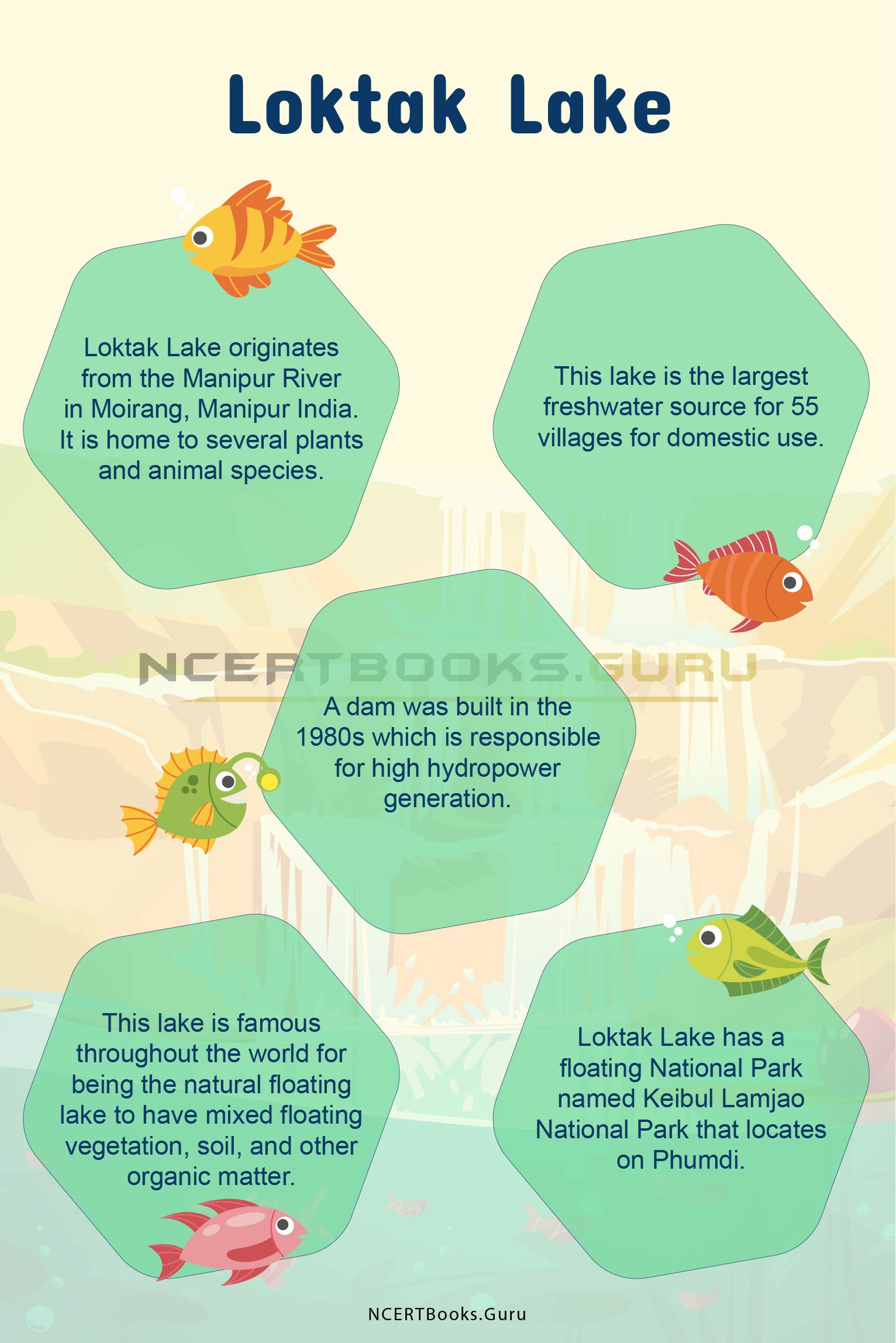
  • Loktak Lake originates from the Manipur River in Moirang, Manipur India. It is home to several plants and animal species.
  • This lake is the largest freshwater source for 55 villages for domestic use.
  • A dam was built in the 1980s which is responsible for high hydropower generation.
  • This lake is famous throughout the world for being the natural floating lake to have mixed floating vegetation, soil, and other organic matter.
  • Loktak Lake has a floating National Park named Keibul Lamjao National Park that locates on Phumdi.
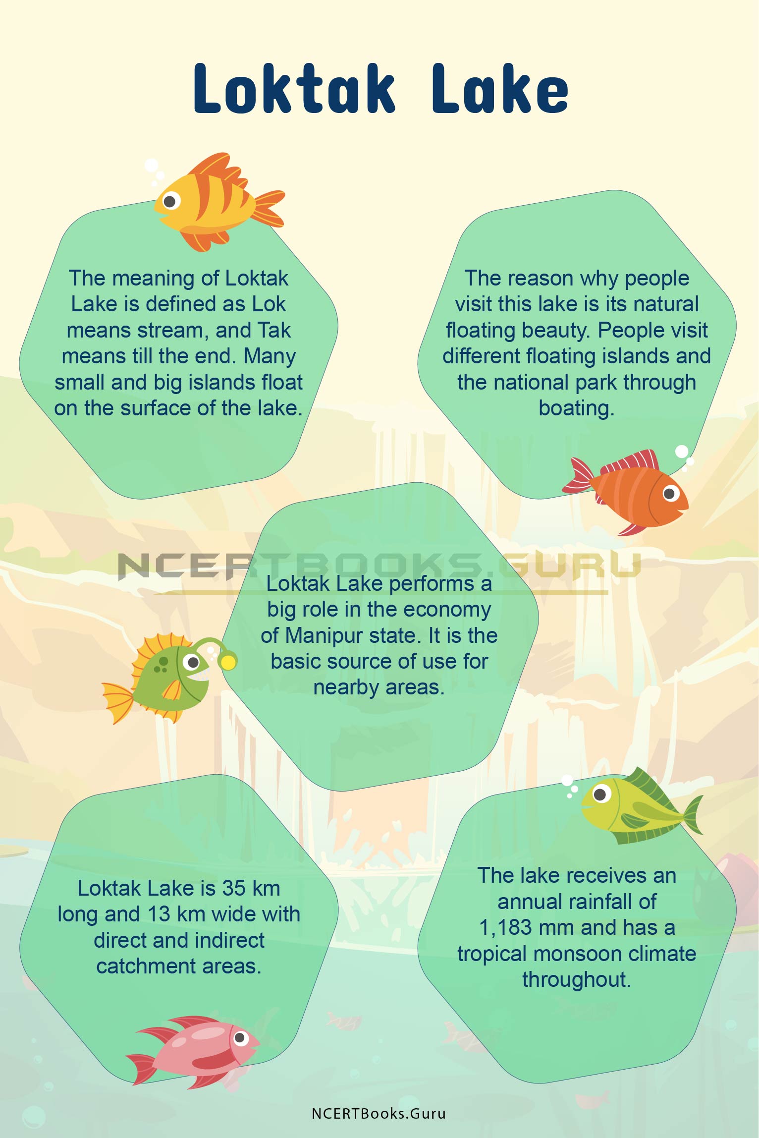
  • The meaning of Loktak Lake is defined as Lok means stream, and Tak means till the end. Many small and big islands float on the surface of the lake.
  • The reason why people visit this lake is its natural floating beauty. People visit different floating islands and the national park through boating.
  • Loktak Lake performs a big role in the economy of Manipur state. It is the basic source of use for nearby areas.
  • Loktak Lake is 35 km long and 13 km wide with direct and indirect catchment areas.
  • The lake receives an annual rainfall of 1,183 mm and has a tropical monsoon climate throughout.

Loktak Lake 2

FAQs On Loktak Lake

Question 1.
Which is the largest Lake in NorthEast India?

Answer:
Loktak Lake is the largest lake in the NorthEast side of India to serve people with freshwater and high hydropower generation through its dam.

Question 2.
What is Lake Loktak famous for?

Answer:
The speciality of Loktak Lake is the floating vegetation, soil, and organic matter that form Phumdis. Also, floating National Park is the reason why people visit this lake.

Question 3.
What does Loktak Lake mean?

Answer:
Loktak word is formed with the combination of Lok, which means stream and Tak, which means till the end.

Question 4.
Is Loktak Lake natural or man-made?

Answer:
Loktak Lake is a natural and the largest floating lake in the world that locates in Northeast India. This freshwater lake forms floating Phumdis, islands, and a floating National Park. It is home for 200 aquatic plant species and 400 animal species.