What Does SSC Stand For? | Quick Facts, SSC Full Form Kya Hai, How it Works? and Exams Conducted by SSC

SSC Full form

SSC Full Form: Need a deep-down explanation about SSC exams? Then, you have stepped onto the right page. Here, at NcertBooks.Guru website, expertise team researched and gathered the necessary information about SSC Full Form. Students from secondary education will surely hear about the SSC exams from the adults or seniors or teachers. To provide the proper information and make you understand what is SSC? we have explained the content in this article, utilize these below quick links, and directly learn the information that you are looking for.

What is SSC Full Form & How it Works?

The full form of SSC is the Staff Selection Commission, an organization responsible for leading the hiring process for various posts under the Government of India in various ministries and departments. The other name for SSC is Subordinate Service Commission called formally and present it is termed as the Staff Selection Commission. SSC Organization comes under the Department of Personnel and Training (DoPT) ruled by a Chairman, two Members, and a Secretary-cum-Controller of Examinations.

At present, the Chairman of SSC is Braj Raj Sharma. Also, know that according to the proposals given by the commission, the functions of the Staff Selection Commission were redefined by The Government of India through the Ministry of Personnel, Public Grievances and the fresh structure and functions of Staff Selection Commission (SSC full form) came into effect from 1 June 1999.

Quick Facts For SSC

  • The Headquarters of Staff Selection Commission is located in New Delhi.
  • The Official Website of SSC is ssc.nic.in
  • SSC Chairman is Braj Raj Sharma from May 24, 2020.
  • Regional offices- Allahabad, Mumbai, Kolkata, Guwahati, Chennai, Bangalore
Region Names State Names SSC Zonal Websites
MP Sub-Region Madhya Pradesh (MP), and Chhattisgarh www.sscmpr.org
Western Region Maharashtra, Gujarat, and Goa www.sscwr.net
North Western Sub-Region J&K, Haryana, Punjab, and Himachal Pradesh (HP) www.sscnwr.org
Central Region Uttar Pradesh (UP) and Bihar www.ssc-cr.org
KKR Region Karnatka Kerala Region www.ssckkr.kar.nic.in
Eastern Region West Bengal (WB), Orrisa, Sikkim, A&N Island, and Jharkhand www.sscer.org
Southern Region Andhra Pradesh (AP), Puducherry, and Tamilnadu www.sscsr.gov.in
North Region Delhi, Rajasthan, and Uttarakhand www.sscnr.net.in
North Eastern Region Assam, Arunachal Pradesh, Meghalaya, Manipur, Tripura, Mizoram, and Nagaland www.sscner.org.in

Educational Qualification for SSC Exams

All candidates require to have minimum qualifications to appear for the SSC exams. The minimum qualification for all SSC Posts is from 10th passed to graduate. Detailed education requirements for all posts of SSC like CGL, CPO, GD, etc. are discussed in the below sections. So, check it out & apply for the eligible posts.

SSC Full Form in Hindi

  • Hindi Me SSC Full Form Kya Hai – कर्मचारी चयन आयोग
  • SSC Ka Full Form – Staff Selection Commission
  • SSC फुल फॉर्म – कर्मचारी चयन आयोग

Do Refer: NSA Full Form in Hindi

Exams Conducted by Staff Selection Commission(SSC)

Staff Selection Commission is mainly involved in leading competitive examinations to hire candidates for various posts in different departments and organizations. All deciding announcements were to be taken by the organization with due permission from DoPT as it operates as a subordinate office of DoPT. Thus, SSC conducts the following Competitive Exams:

  • SSC Combined Graduate Level Examination (SSC CGL)
  • Staff Selection Commission Combined Higher Secondary Level Exam (SSC CHSL)
  • SSC CPO
  • SSC Junior Engineer
  • Junior Hindi Translator
  • SSC GD Constable
  • SSC MTS (Multitasking Staff)
  • Selection Post
  • Stenographer Grade C & D

A few of the crucial exams are discussed here along with their full forms, facts, eligibility, etc.

SSC Exam Name Full Form
Full form of CGL Combined Graduate Level Exam
Full form of CHSL Combined Higher Secondary Level Exam
Full form of SSC CPO Central Police Organization
Full form of SSC MTS Multi-Tasking Staff
Full form of SSC JE Junior Engineer
Full form of SSC GD General Duty

1. What is SSC CGL & its Full Form?

The SSC CGL Full Form is the Staff Selection Commission – Combined Graduate Level Exam and it was conducted by the SSC organization to hire staff into several posts in various departments, ministries, and organizations under the Indian Government. To apply for SSC CGL Exam, aspirants need to meet the eligibility criteria provided by the officials of SSC.

The selection process for the Staff Selection Commission – CGL posts is in four stages. The first two stages (level 1 and level 2) are held online while the third stage is a descriptive exam and the last level is a skill test. If any candidate cracks all these four tiers of the SSC CGL Exam, he/she will be hired for different Group B and Group C posts. Here we have listed some of the SSC CGL Group B posts for the sake of better understanding to aspirants.

  • Assistant Audit Officer
  • Assistant Accounts Officer
  • Divisional Accountant
  • Assistant Section Officer
  • Assistant/ Superintendent
  • Inspector of Income Tax
  • Inspector, (Central Excise)
  • Assistant Enforcement Officer
  • Inspector (Preventive Officer)
  • Inspector (Examiner)
  • Sub Inspector
  • Inspector Posts
  • Inspector
  • Sub Inspector
  • Junior Statistical Officer

2. What is SSC CHSL Full Form?

The full form of SSC CHSL is the Staff Selection Commission- Combined Higher Secondary Level Exam. The CHSL Examination was conducted by SSC to recruit aspirants for several departments, ministries, and many other government posts. Under SSC CHSL Exam, qualified candidates get the choice to pick the post in Lower Division Clerk (LDC)/ Junior Secretariat Assistant (JSA) post, Postal Assistant (PA)/ Sorting Assistant (SA) post, Data Entry Operator (DEO), and Data Entry Operator, Grade A.

Also Check: SSC CHSL Books 2020 

3. What does SSC CPO Stand for?

The abbreviation of CPO is the Central Police Organization Exam. SSC conducts the CPO Examination for the hiring of Sub-Inspector (SI) in Delhi Police, Central Armed Police Forces (CAPFs), and Assistant Sub-Inspector (ASI) in CISF. Interested candidates should check for the minimum requirements in the official notification of Staff Selection Commission CPO and apply online for the posts.

4. What is the Full form of SSC MTS?

SSC MTS abbreviation is Staff Selection Commission- Multi-Tasking Staff Exam. MTS is a very important post & a demanding job for everyone. SSC held the MTS exam for recruiting candidates to offer various central government jobs. To apply for the MTS exam, candidates only require a 10th pass certificate, and also hired aspirants will get paid with a decent salary package.

5. What is the full form of SSC JE?

The abbreviation of SSC JE is Staff Selection Commission – Junior Engineer Exam. Candidates who studied engineering courses can apply for the SSC JE Exam. It is all in all an engineering-based examination where aspirants are recruited for Junior Engineer (Civil, Mechanical, Electrical, and Quantity Surveying & Contracts) for different ministries/ Departments/ Organizations in the Government of India. Staff Selection Commission- Junior Engineer Recruitment is done for the below-given departments:

  • Central Water Organization
  • Central Water Commission
  • Military Engineer Services
  • Central Public Works Department
  • Department of Posts
  • Farakka Barrage Project
  • Border Road Organization
  • Central Water and Power Research Station
  • Directorate of Quality Assurance
  • National Technical Research Organization

6. SSC GD – What is SSC GD?

The full form of GD is General Duty and this exam gonna be conducted by SSC every year. The hiring for SSC GD posts is made according to the Memorandum of Understanding (MoU) together approved by the SSC and Ministry of Home Affairs. SSC lead General Duty exam annually to engage eligible candidates for the posts of Constable (General Duty) in Border Security Force (BSF), Secretariat Security Force (SSF), Central Industrial Security Force (CISF), National Investigation Agency (NIA), Indo Tibetan Border Police (ITBP), Sashastra Seema Bal (SSB), Central Reserve Police Force (CRPF) and Rifleman (General Duty) in Assam Rifles.

FAQs on SSC Full Form

1. What is the meaning of an SSC job?

Staff Selection is the meaning of SSC job. Also, formerly called Subordinate Services Commission or Staff Selection Commission (SSC) is an organization under the Government of India to hire workers for different posts in the several Ministries and Departments of the Government of India and in Subordinate Offices.

2. Is SSC Posts come under both state and central government of India?

Yes, candidates who apply for SSC posts can opt for both state and central government jobs in India.

3. What is the qualification for SSC Exams?

The minimum educational qualification for some of these SSC exams is undergraduate (12th board ). But, most of these exams have the qualification requirement for graduation.
What is the Full Form of SSC CGL? | CGL Full Form in Hindi, Eligibility, Examination Pattern, How to Apply?

CGL Full Form in English & Hindi

The full form of CGL is the Combined Graduate Level exam which is directed by SSC to recruit aspirants for many Government departments and ministries. Here SSC stands for Staff Selection Commission, together SSC CGL full form is the Staff Selection Commission Combined Graduate Level exam. They help to hire staff for Group B and C posts. To answer all your queries regarding the given exam, we have discussed the SSC CGL Full Form, its importance, and its pattern elaboratively on this page. Go through this article and know what is the full form of CGL?

This Article Contains:

CGL Full Form – Overview

Particulars Details
Exam Name Staff Selection Commission Combined Graduate Level Exam (SSC CGL)
Acronym SSC CGL
Board/Organization Staff Selection Commission
Exam level National
Exam Time Period Tier 1 – 1 hour
Tier 2 – 2 hours for each paper
Tier-3 – 1 hour
Language medium English and Hindi
SSC Official Website ssc.nic.in

What is the full form of SSC CGL?

SSC CGL full form is Staff Selection Commission Combined Graduate Level. SSC CGL is the most sought-after examination conducted annually by the Staff Selection Committee, authorized in 1975. Combined Graduate Level (CGL) is meant to hire employees to particular posts in ministries, government agencies, and other Government of India organizations, like Group B & Group C Positions.

Aspirants should apply for the CGL exam and crack all the selection process stages to become government employees. Depending on the vacancies left from the relevant departments, the final call will be decided for the applicants.

SSC – Combined Graduate Level Eligibility Criteria

  • Only Indian Citizens are eligible to apply for the CGL exam.
  • The required minimum age limit for SSC CGL is 27 years, and the maximum age restriction is 32 years.
  • The SSC for SSC CGL Recruitment has raised the age cap, but the age differs from post to post.
  • They should be certificated with a bachelor’s degree in a related discipline.

CGL Exam Structure

The entire exam of CGL takes place in four stages/Tiers. Tier I and II are held in the online mode and Tier III and IV are held in offline mode. The information of these stages as per the SSC CGL 2020 Exam has been tabulated below:

Tier Type of Examination Mode of Examination
Tier-I Objective Multiple Choice CBT (Online)
Tier-II Objective Multiple Choice CBT (Online)
Tier-III Descriptive Paper (in Hindi/ English) Pen and Paper Mode
Tier-IV Computer Proficiency Test/ Skill Test Wherever Applicable

Duration of the SSC CGL Examination

CGL exam is held on online which is completely a computer-based examination. It is conducted in four stages and the duration for each stage is given below for the sake of appearing aspirants knowledge:

  • Preliminary examination (Tier-I) – 60-minutes duration
  • Main Exam (Tier-II) – 120 minutes in duration
  • Descriptive Test (Tier-III) – 60-minute duration
  • Skill Test or Computer Proficiency Test (Tier-IV) – 45 minutes in duration

Related Articles: 

SSC CGL 2019-20 Exam Dates

Activity Tentative Dates
SSC CGL 2019-20 Notification Release Date October 22, 2019
SSC CGL 2019-20 Online Application Process Duration October 22 -November 25, 2019
SSC CGL 2019-20 Tier-I Application Status Out January 28, 2020, onwards
SSC CGL 2019-20 Tier-I Admit Card February 2020
SSC CGL 2019-20 Tier-I Exam Date March 3- March 9, 2020
SSC CGL 2019-20 Tier-I Result 1st July 2020
SSC CGL Tier-II & III Admit Card October 2020
SSC CGL 2019-20 Tier-II Exam Date 12th to 15th October 2020
SSC CGL 2019-20 Tier-III Exam Date 1st November 2020
SSC CGL 2019-20 Tier-IV Exam Date Not yet announced

How to Apply for CGL Online?

Interested candidates can give CGL exam by submitting the online application form of SSC CGL on the official website of SSC. The steps should follow by the aspirants are given below:

  • Open the official web portal of SSC ie., ssc.nic.in
  • First and foremost, register yourself by tapping on the ‘New User’ tab.
  • Now, enter the required details like name, parents’ name, date of birth, e-mail address, and phone number.
  • Then, click on the submit button for account registration.
  • Login to your account by entering your credentials and fill the CGL application form.
  • After filling out all the necessary details, upload documents like photographs and signatures.
  • Review all entered details of the application form before submission to avoid any kind of mistakes or errors.
  • Finally, tap on the submit button to pay the application fee for the SSC Post you applied for.
  • The application fee can be paid online via net banking or debit/credit card.
  • At last, download the CGL online application form and take a printout for further reference.

SSC CGL Full Form हिंदी में

SSC CGL Full Form in Hindi is कर्मचारी चयन आयोग (एसएससी) संयुक्त स्नातक स्तर (सीजीएल)

SSC CGL कर्मचारी चयन आयोग द्वारा आयोजित की जाने वाली परीक्षाओं में से एक बहोत ही महत्वपूर्ण परीक्षा है, जोकि ग्रेजुएट छात्रों के बिच बहोत ही चर्चित परीक्षा है|

FAQs on Staff Selection Commission CGL Exam 2021

1. What is CGL full form? 

CGL stands for Combined Graduate Level.

2. What is a CGL job?

SSC CGL candidates can get the Group B and Group C posts in government departments after cracking the CGL Exam. You can discover various SSC CGL jobs that filled with different duties and responsibilities. The best posts of SSC CGL are Income Tax Inspector, Assistant Section Officer, Central Excise Inspector, Assistant Audit Officer, Public Finance – K K Andley and Sundaram, and Assistant Enforcement Officer.

3. What is SSC CGL eligibility?

SSC provides the eligibility criteria for CGL 2021. The eligibility requirements to apply for the CGL exam are aspirants must have finished their graduation and the age limit should be between 27 to 32 years.

4. What is the salary for CGL Posts?

On the basis of SSC CGL Post, candidates get paid in the following pay scales: Rs 25,500-81,100. Rs 29,200-92,300. Rs 35400-1,12,400. Rs 44,900-1,42,400.

Narmada River | Narmada River Map, System, Pollution, History and Importance

narmada river

Narmada River: The Narmada river is also considered as the Reva and was previously known as the Narbada river. The river is regarded as the ‘Lifeline of Madhya Pradesh and Gujarat’ because of the many contributions it makes to these states.  The river rises from Amarkantak Plateau in Anuppur district of Madhya Pradesh.

Top 10 Largest Rivers in India, you would also find the details about Indian River Systems and major rivers of India.

Narmada River Details

Origin Amarkantak Plateau in Anuppur district of Madhya Pradesh
Other Names The Reva, Narbada river, Nerbudda river
Length 1312 Km or 815 miles
Average Depth 1048 m or 3438 ft
Average Water Flow 1447 cubic metre per second
Importance It is the lifeline of two states and provides food, water and livelihood to approximately 25 million people
Reason For pollution Local anthropogenic activities, agricultural runoff and industrial effluent

About Narmada River

The Narmada river is considered as the largest west flowing river of the peninsula which rises near Amarkantak range of mountains in Madhya Pradesh. It is also called as Narbada or Nerbudda river. It is a river that is situated in central India and has always act as an important route between the Arabian Sea and the Ganges River Valley.  The Narmada river holds the title of the fifth largest river in the country and the largest one in Gujarat. The river travels through Madhya Pradesh, Maharashtra and Gujarat and at last, meets the Gulf of Cambay.

The total length of the river is measured to be around 1312 Km or 815 miles. The length of the river up to the dam site is calculated to be about 1163 km or 723 miles. During the time of floods, the width of the river channel at the dam site is approximately 488 meter or 1600 feet whereas, during summer, the width reduces to 45.70 meter or 150 feet.

Narmada River History

The Narmada river was first mentioned by Ptolemy in the second century AD and was considered as Namade and by the author of the Periplus. The Narmada river is mentioned frequently in The Ramayana, The Mahabharat and The Puranas.  The Reva Khand of Vayu Purana and the Reva Khand of Skanda Purana are wholly devoted to the birth story of the Narmada river and also to the importance of the river which is why Narmada is also called the Reva.

In Indian history, the emperor Harshavardhana of Kannauj was defeated by Kannada emperor from Chalukyas dynasty Pulakeshin II on the banks of the river Narmada. Narmada river is also believed to be engaged with another river which is known as Sonbhadra that is flowing through the Chota Nagpur Plateau. According to the Puranas, the Narmada river is also known as the Reva because of its leaping motion through the rocky beds.

Narmada River Map

The Narmada river is known to be raised at an elevation of approximately 3500 ft or 1080 metres. It originates from the Maikala range in eastern Madhya Pradesh. Its flowing route passes through the hills near Mandla and then turns Northwest in order to pass the city of Jabalpur. From this point, it turns southwest and enters between the ranges of Vindhya and Satpura at Marble Rocks Gorge. The river then turns westward and continues to flow across Madhya Pradesh until it passes the state of Gujarat. The Narmada river then enters the Gulf of Cambay.

The Narmada river also flows through the Hoshangabad plains, the Dhar uplands, the Mahishmati plains and the gorges at Mandhata and Murakta. The Narmada river has various waterfalls in different ranges. One of the most famous waterfalls is Dhuandhar falls situated at the southwest of Jabalpur.

Narmada River System

The Narmada river system extends over the states of Madhya Pradesh, Gujarat, Maharashtra and Chhattisgarh. The river system covers an area of around 98,796 sq. km which is considered to be 3% of the total geographical area of the country. The maximum length of the river system is 923 km, and its width is considered to be 161 km. The Narmada river system is located between 72°38′ to 81°43′ east longitudes and 21°27′ to 23°37′ north latitudes.

The Narmada river system is covered by the Vindhyas in the northside, by the Maikala range on the eastside, by the Satpuras on the south and by the Arabian Sea on the west.

Narmada River Pollution

The Narmada river is getting polluted each day; thus, the lifeline of Madhya Pradesh and Gujarat is getting damaged rapidly. The cities and villages situated along the river are throwing huge quantities of waste into the river. Many industries also which are situated near the river bank are discharging harmful chemical effluents into the river. Due to all this waste and chemicals, the quality of the water has been degraded down to category B, which is one of the worst categories. This river is categorised in category B by the Bureau of Indian Standard 2296 norms.

The increase in deforestation on forests that are in the banks of the river Narmada and increasing population are becoming the main reasons for these increased level of pollution in the rivers. The part of the river located near Dhinduri is categorised at level C because of its quality. The quality of this part deteriorated because of the sewage discharging from the nearby industries. According to the research, around 52 cities are discharging waste directly into the river which is required to be stopped in order to stop the pollution in Narmada river.

Narmada River Importance

The Narmada river is considered as the lifeline of Madhya Pradesh and Gujarat from years because 25 million people living in these two states depend on Narmada river to survive. The Narmada river helps in providing drinking water, irrigation and generation of electricity. The people of the state get their food because of this river. The river is responsible for providing electricity in both states, thus making the livelihood of people easier. As the river is getting polluted rapidly, it might affect the people very badly as they might face a shortage of pure water and food due to the polluted water.

The Narmada river meets the sea at the. Port town of Bharuch which js considered as one of the largest port sides of Gujarat. This city was considered to be one important port in ancient times also. Now, this port is used by the government and is considered to be one of the biggest trading places in India.

Short Essay on Narmada River

The Narmada river that rises from the Amarkantak range of mountains in Madhya Pradesh is considered as the largest west flowing river of the peninsula.

It is considered to be India’s fifth largest river. The route of the river passes through Madhya Pradesh, Maharashtra, Gujarat and meets the Gulf of Cambay. The river is measured to be approximately 1312 km or 815 miles long.

The Narmada river has hilly regions on the upper part. In the lower part areas, the lands are fertile and broad, which are well suited for cultivation. The Narmada river system is considered to be the fifth largest river in the country and largest river in Gujarat. Through this river system, many people get benefitted as it is the lifeline for two states of India, which is why Narmada river is essential to maintain a proper balance in the lifestyles of 25 million people of Madhya Pradesh and Gujarat.

As seen in the essay, Narmada is the fifth largest river of India and is essential for the people who are dependent on it for their livelihood. So, the government should plan to save this river from pollution by eliminating the discharge of wastage and chemical effluents into the river.

10 Lines on Narmada River

  • The Narmada river was first discovered in the second century AD by Ptolemy and was considered as Namade.
  • Narmada river is the fifth largest river in India and the largest river in Gujarat.
  • The Narmada river is considered as the Reva and was previously known as the Narbada river.
  • The river is considered to be the lifeline of two states which are Madhya Pradesh and Gujarat as it helps these states to maintain and balance their livelihood.
  • The originates from Amarkantak Plateau in Anuppur district of Madhya Pradesh.
  • The river is measured to be 1312 km or 815 miles long in length.
  • The average water flow is considered to be 1447 cubic metre per second.
  • The water is getting polluted by local anthropogenic activities, agriculture runoff and industrial effluents.
  • The part of the river that is near Dhinduri is the most polluted and is categorised as level C as per its quality. The water is polluted because of the sewage discharged from homes and industries.
  • According to research, approximately 52 cities discharge waste into water directly deteriorating the water quality.

Frequently Asked Questions

Question 1:
What is the origin of the Narmada river?

Answer:
The Narmada river originates from the Amarkantak Plateau in Anuppur district of Madhya Pradesh. The river flows through three states which are Madhya Pradesh, Maharashtra and Gujarat and meets at the Gulf of Cambay.

Question 2:
What is the length of the Narmada river?

Answer:
The length of the Narmada river is measured to be approximately 1312 km or 815 miles long.

Question 3:
What are the causes of pollution in the Narmada river?

Answer:
There are many reasons that are polluting the water of the Narmada river. Some of these reasons are chemical effluents discharged by industries, wastes discharged by households and deforestation.

Question 4:
What is the average water flow of the Narmada river?

Answer:
The average water flow of the Narmada river is measured to be approximately 1447 cubic metre per second.

Krishna River | Krishna River Map, System, Pollution, History and Importance

Krishna River

The river Krishna originates from the Western Ghats and empties into the Bay of Bengal. In terms of water inflows and river basin, Krishna is the fourth biggest river after Ganga, Godavari and Brahmaputra. Krishna river is one of the essential sources of irrigation for many southern states.

Top 10 Largest Rivers in India, you would also find the details about Indian River Systems and major rivers of India.

The Krishna River Details

One of the longest rivers in India, the Krishna river is around 1300km long. It originates near Mahabaleshwar in the western ghats in the state of Maharashtra. Most of the area under the Krishna basin is arable due to the presence of Krishna river. It provides water for irrigation to states like Maharashtra, Karnataka, Andhra Pradesh and Telangana.

The Krishna river originating from Maharashtra flows through Karnataka before entering Telangana state and finally emptying into the Bay of Bengal at Koduru in Andhra Pradesh. The river delta of the Krishna river is one of the most fertile regions in the country. The flow of the river is highly fluctuating as it is dependent upon the seasonal monsoon rains.

The river passes through four states and witnesses cultural and religious diversity. The river is worshipped in the state of Maharashtra among others and is lined with ghats on its banks. The river is named after Lord Krishna who is worshipped all over the country. The Krishna river basin rich in cultural heritage, flora and fauna is roughly triangular in shape.

A weir at Vijayawada district controls the flow of the river. The major tributaries of the river are Bhima(north) and Tungabhadra(south). The other branches of river Krishna are given below:

Left Bank Tributaries Right Bank Tributaries
Kolamba river Venna River
Yerla river Urmodi river
Doni River Tarali river
Bhima River Mand river
Dindi River Koyna River
Haliya River Warna River
Musi River Panchganga River
Paleru River Malaprabha River
Munneru River Ghataprabha River
Polavaram right bank canal Tungabhadra River
Srisailam temple
Kondaveeti vagu

About Krishna River

Krishna river is one of the longest rivers in India with its approximate length around 1300km( 800 miles). Krishna river is fed with seasonal rains during monsoon, which makes its flow fast and furious. Krishna river has several tributaries with Tungabhadra being its largest tributary. In terms of length, Bhima river is the longest tributary of the Krishna river with an approximate size of more than 800km.

Vijayawada district, the largest city on the river, controls its flow of water into a system of canals that is further used for irrigation purposes. A number of hydroelectric plants are also situated on the river which harnesses its energy potential.

The river also has cultural importance and is revered as sacred by Hindus. It is believed that all the sins committed can be removed by taking a bath in the river. It attracts people for its Krishna Pushkaram fair, which takes place after twelve years.

Krishna River History

The river bears the name of Lord Krishna- the beloved lord who is worshipped all around the country. A common saying in Marathi which translates into “quiet and slow flows Krishna” is ironic to the mighty Krishna river.

States like Maharashtra, Karnataka, Telangana and Andhra Pradesh are blessed to have the Krishna river which provides water for irrigation. Especially in the case of Maharashtra, the river Krishna has a rich cultural and religious significance. It is due to river Krishna that agriculture and economy thrive in the districts of Satara, Sangli and Kolhapur.

The river Krishna is an eastern flowing peninsular river and is the fourth largest river in India. The river basin formed is triangular in shape and receives most of its rainfall during the south-west monsoon. The riverbank is lined with ghats along the stretch of the river. It was beloved that Lord Rama and Goddess Sita once inhabited it during their fourteen years of exile.

Krishna River Map

The river Krishna originates from the heights of western ghats near Mahabaleshwar and flows majorly through the state of Maharashtra. It then moves into Karnataka before entering the state of Telangana from where it moves towards Andhra Pradesh. Lastly, the river empties herself into the Bay of Bengal.

The river Krishna is a southern flowing river, but it does make a move towards north for a very short period, and the region is thus called “Uttar Vahini” which translates into Northern flow. The flow of the mighty river Krishna fluctuates due to seasonal monsoon rains when its flow becomes both fast and furious.

With the presence of dams in the river, specific issues also arise in the Krishna Basin. The backwater effect which causes flood in the upper Krishna basin system because of the presence of the Almatti dam has been a critical issue. Also, the Koyna dam is said to induce seismic activity in the entire area and is a unique place to study the relation of reservoir induced earthquakes and the correlation between dams and earthquakes.

Krishna River System

The Krishna river is approximately 1300km long and has several tributaries. The largest branch Tungabhadra runs for about 531 km long. The river Bhima is the longest tributary with a total length of around 861 km. This makes the Krishna River the fourth largest river in the country in terms of water inflow and river basin after Ganga, Godavari and Brahmaputra.

The Krishna river has a mighty flow which is fed by the seasonal rains during monsoon. It provides water for irrigation to the states of Maharashtra, Karnataka, Telangana and Andhra Pradesh. The river system has a rich cultural heritage.

Krishna River Pollution

The river Krishna and its tributaries are polluted in certain urban stretches due to urban pollution and release of the waste directly into the river. As most of the water of the river is being used for agriculture, it is on the verge of death. The river barely reaches the sea owing to urban pollution and use in sugarcane production.

The districts of Satara, Sangli and Kolhapur are sugarcane producing districts. Sugarcane is a water-intensive crop, and the production has doubled in the last decade, putting heavy stress on the river Krishna. Also, effluents from sugarcane mills and refineries release their effluents into the river further polluting the water.

The issue of deteriorating water quality of Krishna river is identified by the Central pollution control board and prioritizes restoration of the river Krishna and its tributaries. Discharge of highly alkaline water from the power stations increases the alkalinity of the water, which is already highly alkaline due to the presence of basalt rock formations in the basin.

Krishna River Importance

The river Krishna has cultural and religious importance in the state of Maharashtra. The river provides for the agricultural economy in the state as it allows for water for irrigation for sugarcane production. Also, the weir at Vijayawada district distributes the water for irrigation and acts as the control system.

The river has several dams and hydroelectric power project plants on it which harness the potential energy of the river. The presence of wildlife sanctuaries also helps in preserving flora and fauna in the Krishna basin system. A few famous sanctuaries and reserves include Nagarjuna Sagar-Srisailam tiger reserve and Krishna Wildlife sanctuary which is home to a number of migratory birds.

The river basin also has rich mineral deposits of coal, oil, limestone, gold, uranium, diamond etc. in the deposits of Krishna Godavari Basin, Nalgonda, Kudremukh, Donimalai and Yellur. The seasonal rains feed the river during monsoon which increases the level and flow of the mighty Krishna river. The river witnesses an outstanding cultural and religious significance with diversity in language, lifestyle and food.

Short Essay on Krishna River

The mighty river Krishna is the fourth-longest river in the country after Ganga, Godavari and Brahmaputra. It flows through four states, namely Maharashtra, Karnataka, Telangana and Andhra Pradesh. The river originating from the heights of Western ghats near Mahabaleshwar empties herself in Bay of Bengal in the state of Andhra Pradesh.

The river Krishna hosts Krishna pushkaram fair which happens after every twelve years. It is believed that anyone who takes a bath in the river Krishna will have all of his sins washed away. The river has cultural and religious significance in the state of Maharashtra, where the river is perceived in a feminine form and is called “Krishna mai” which means Mother Krishna.

The river Krishna provides a lifeline to sugarcane producing districts like Satara, Sangli and Kolhapur. Sugarcane is a water-intensive crop and therefore has led to the drying of the Krishna river. The presence of sugarcane mills, refineries and power stations which release effluents in the river Krishna. It has led to an increase in the alkalinity levels of the water. Also, the river Krishna is no longer able to reach the sea due to degradation and overconsumption.

Krishna River

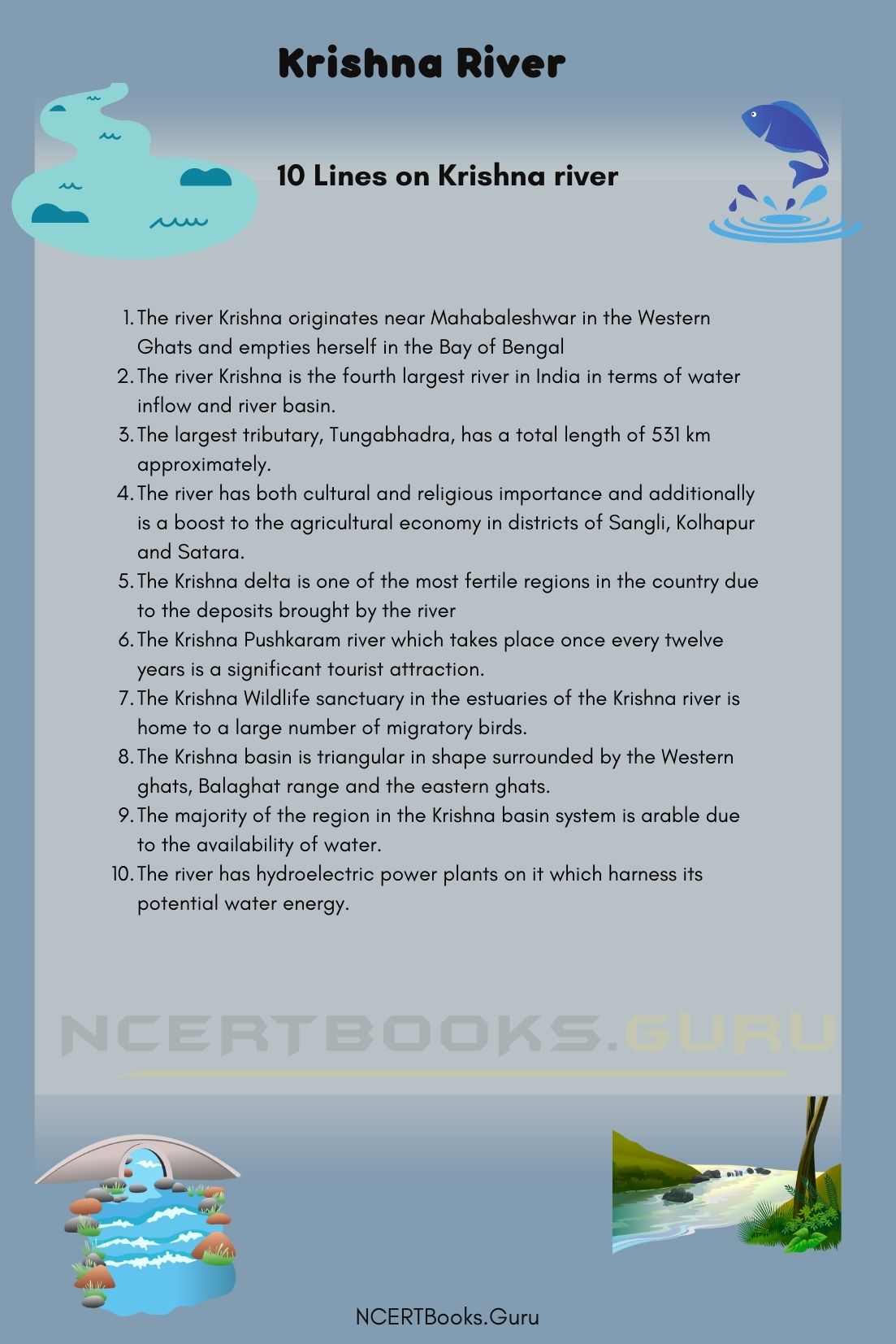
10 Lines on Krishna river

  1. The river Krishna originates near Mahabaleshwar in the Western Ghats and empties herself in the Bay of Bengal
  2. The river Krishna is the fourth largest river in India in terms of water inflow and river basin.
  3. The largest tributary, Tungabhadra, has a total length of 531 km approximately.
  4. The river has both cultural and religious importance and additionally is a boost to the agricultural economy in districts of Sangli, Kolhapur and Satara.
  5. The Krishna delta is one of the most fertile regions in the country due to the deposits brought by the river
  6. The Krishna Pushkaram river which takes place once every twelve years is a significant tourist attraction.
  7. The Krishna Wildlife sanctuary in the estuaries of the Krishna river is home to a large number of migratory birds.
  8. The Krishna basin is triangular in shape surrounded by the Western ghats, Balaghat range and the eastern ghats.
  9. The majority of the region in the Krishna basin system is arable due to the availability of water.
  10. The river has hydroelectric power plants on it which harness its potential water energy.

Frequently Asked Questions on Krishna River

Question 1
Comment on the tributaries of the Krishna river.

Answer:
The river Krishna has a number of Tributaries. In terms of size, Tungabhadra is the largest tributary, and in terms of length, Bhima river is the longest tributary.

Question 2
Explain the importance of Krishna river in the state of Maharashtra.

Answer:
The river Krishna has cultural and religious significance in the state of Maharashtra. The river provides water for irrigation and promotes agricultural economy in the districts of Satara, Sangli and Kolhapur.

Question 3.
What are some of the problems that have arisen in the Krishna river system due to the presence of dams?

Answer:
The presence of Almatti dam causes floods due to the backwater effect in the upper Krishna river basin. Also, the entire region feels seismic activity due to the fact of the Koyna dam in the area, which also helps in the study of the correlation between dams and earthquakes.

Question 4.
Comment on the Cultural heritage of the River Krishna.

Answer:
The river Krishna is named after Lord Krishna. It is lined with ghats throughout its length and is revered as being sacred by Hindus. It was also believed that Lord Rama and Goddess Sita stayed in the region during their exile.

Sardar Sarovar Lake History, Map, System, Pollution and Importance

Sardar Sarovar Lake

Sardar Sarover lake is a dam that is located on the Indian Narmada river in the state of Gujarat. It is one of the countries most controversial water reservoir infrastructure that is built. It was built in the year 1987 and is one of the oldest dams in the country.

Sardar Sarovar Lake details

Name of the lake Sardar Sarovar lake
Primary source Being a dam it doesn’t have one
Location Gujarat
Length 1210 meters
breadth 1.7kms
importance Provides hydro- power to the people, helps in agriculture and socio economic development
Pollution rampant plantation of willows,Encroachments, and siltation

About Sardar Sarovar lake

The Sardar Sarovar Lake is a 1,210m long concrete gravity dam with a proposed final height of 163m above the deep foundation that it is laid upon. Its present size is 121.9m. During its construction, about 7 million cubic meters of chilled cement was required. The Sardar Sarovar dam has 0.95 Mhm of storage capacity, which can contain a lot of water and 0.586M.Ha.m of live storage capacity.

It occupies a neighbourhood of 37,000ha with a mean length of 214km and a width of 1.7km. The river catchment basin above the dam site is 88,000 square kilometres. it’s a spillway discharging capacity of 87,000 cubic metres a second.

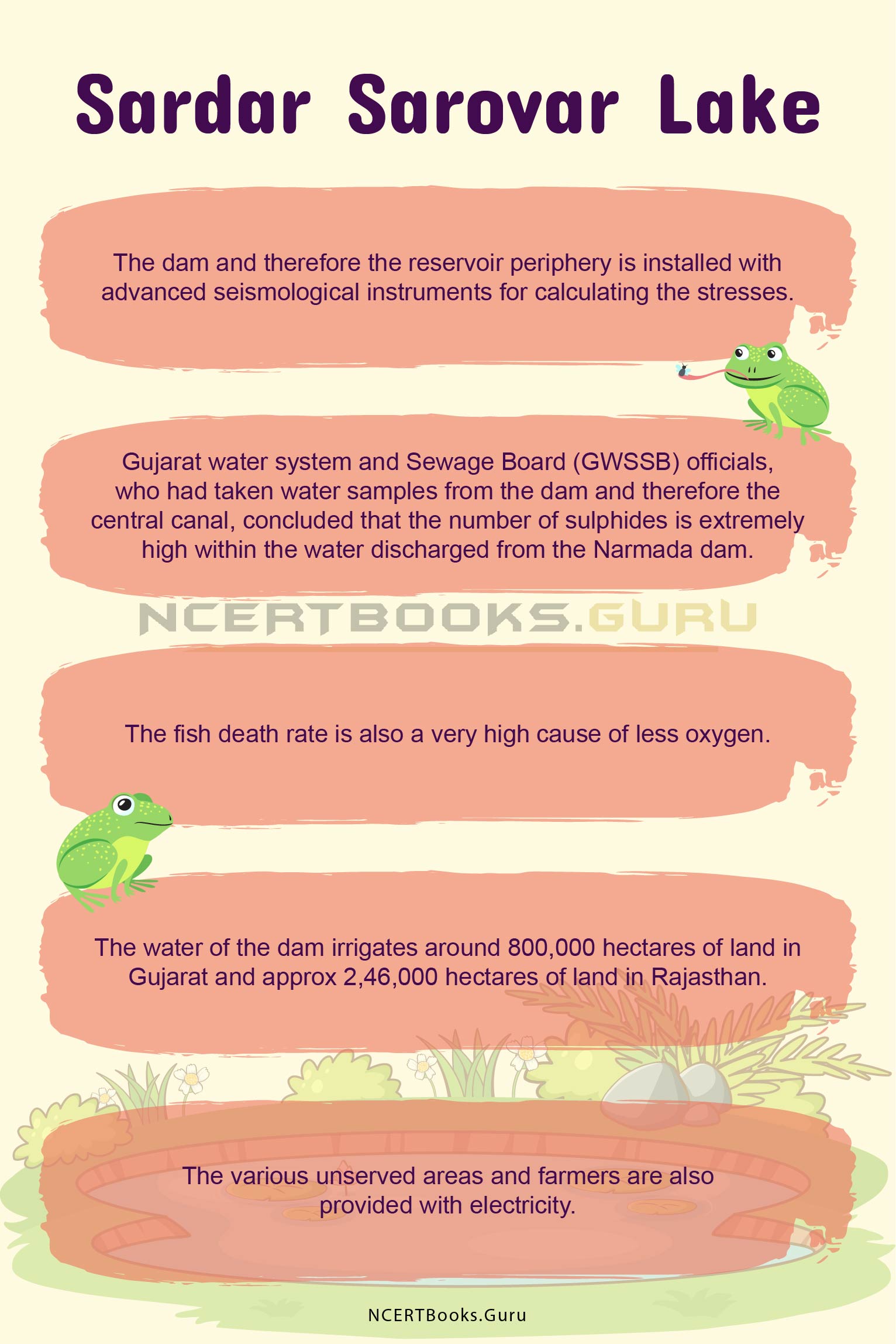
The dam and therefore the reservoir periphery is installed with advanced seismological instruments for calculating the stresses. The whole reservoir level of the SSD is 138.6m, the utmost water level is 140.2m, and the minimum drawdown level is 110.6m. The tailwater level is about 25.9m.

It also supplied water to the people of Gujarat, the various wildlife sanctuaries and the different industries.

Have a look at the List of Important Lakes in India that you need to know for your competitive exams to score well.

Sardar Sarovar lake History

In the year 1946, the plans were initiated for the Sardar Sarovar basin. Since the start of the project it has been under constant pressure and criticism. Its construction was halted several times due to court stay orders and different opposition. Works couldn’t start thanks to water sharing disputes among the concerned Maharashtra, Rajasthan, Gujarat and Madhya Pradesh states. To resolve the problems and allocate the water shares, Narmada Water Dispute Tribunal was formed in October of 1969. Construction of the dam began in April 1987 once the NWDT reached an agreement in 1979. Funds backed the development from the planet Bank.

The Narmada Bachao Andolan was a group of local people that opposed the project in 1989. The planet Bank withdrew the funding in 1993 following massive protests, leading to delays to the project.

In May 1995 the construction was stopped as per the Supreme Court’s stay. It resumed in February 1999, and therefore the dam’s height was increased from the planned 80m to 88m. The Court allowed the rise of the dam’s size to 90m in October 2000 but ordered adherence to the rehabilitation and resettlement issues. The dam’s height was increased to hundred and ten metres with accordance to Narmada Control Authority new conditions, in June 2004. it had been further raised to its current 121.9m height in December 2006.

Sardar Sarover lake map

The SSD may be a 1,210m long concrete gravity dam with a proposed final height of 163m above the deep foundation. Its present size is 121.9m. Chilled concrete of about seven million cubic metres was required to be poured in.

It occupies a neighbourhood of 37,000ha with a mean length of 214km and a width of 1.7km. The river catchment basin above the dam site is 88,000 square kilometres. it’s a spillway discharging capacity of 87,000 cubic metres a second.

The dam and therefore the reservoir periphery is installed with advanced seismological instruments for calculating the stresses. 23 service spillway gates and seven chute spillway radial gates are installed for control. The whole reservoir level of the SSD is 138.6m, the utmost water level is 140.2m, and the minimum drawdown level is 110.6m. The tailwater level is about 25.9m.

Sardar Sarover lake system

The Sardar Sarovar Dam has two hydropower generating units. There is a powerhouse (RBPH) station that has six because of the 1,200MW underground river bed, it also contains 200MW units of reversible Francis type turbines, supplied by BHEL and Sumitomo.

The 250MW surface canal head powerhouse (CHPH) consists of 5,50MW Kaplan turbines. By December 2004 and RBPH by November 2006 the CHPH power units were commissioned and the facility stations are connected to a Gas Insulated Switchgear and bus bars switchyard complex in RBPH. Electricity is distributed to Madhya Pradesh at 57%, Gujarat at 16% and Maharashtra at 27% through a 400kV power cable.

Sardar Sarovar lake Pollution

Gujarat water system and Sewage Board (GWSSB) officials, who had taken water samples from the dam and therefore the central canal, concluded that the number of sulphides is exceptionally high within the water discharged from the Narmada dam. GWSSB had stopped beverage supply from the channel in Narmada, Chhota Udepur and parts of Vadodara.

GWSSB had stopped beverage supply from the canal in Narmada, Chhota Udepur and parts of Vadodara. There is no water within the downstream which is filled only with sewage and industrial wastewater. The economic effluents are discharged from Ankleshwar, Jhagadia, Panoli, and Dahej industrial clusters which are notorious for his or her non-compliance of prescribed standards for effluent discharges. The river is now susceptible to flash floods with a dry river bed stretch.

This is often severely impacting the ecology, biodiversity, fishery, livelihoods of the fisherfolks, downstream villagers, tribals, natural and cultural resources, wildlife sanctuary and lakhs of people living on the brink of and hooked into the river directly or indirectly.

Sardar Sarovar Lake Importance

Sardar Sarovar Dam is 1.2 kilometres long, and therefore the height of the dam was increased to 138.68 metres in 2017. it’s the third-highest concrete dam in India. The water of the dam irrigates around 800,000 hectares of land in Gujarat and approx 2,46,000 hectares of land in Rajasthan.

It’s said that it provides water to 131 towns and cities and around 9,633 villages within the four states. The level of water within the submergence area of the dam in Dhar and Bharawani districts of Madhya Pradesh is rising steadily. Consistent with the Narmada Bachao Andolan group, around 40,000 families in 192 villages in Madhya Pradesh would be dispatched when the reservoir is filled to its optimum capacity.  Many dry towns, villages and districts of Gujarat are served the water from the reservoir which has been seen as quite beneficial over the years.

The various unserved areas and farmers are also provided with electricity. Not just does the dam serve farmers with electricity but it provides basic amenities like drinking water and water for irrigation. It provides flood protection to a neighbourhood of about 30,000 hectares. Wildlife sanctuaries also will be benefited.

Sardar Sarovar Lake 1

Short Essay on Sardar Sarovar Lake

Sardar Sarover lake is a dam that is located on the Indian Narmada river in the state of Gujarat. In the year 1946, the plans were initiated for the Sardar Sarovar basin. Its construction was halted several times due to court stay orders and different opposition. Works couldn’t start thanks to water sharing disputes among the concerned Maharashtra, Rajasthan, Gujarat and Madhya Pradesh states. Construction of the dam began in April 1987 once the NWDT reached an agreement in 1979. Funds backed the development from the planet Bank. The Narmada Bachao Andolan was a group of local people that opposed the project in 1989. The planet Bank withdrew the funding in 1993 following massive protests, leading to delays to the project.

It occupies a neighbourhood of 37,000ha with a mean length of 214km and a width of 1.7km. The river catchment basin above the dam site is 88,000 square kilometres. it’s a spillway discharging capacity of 87,000 cubic metres a second.

The dam and therefore the reservoir periphery is installed with advanced seismological instruments for calculating the stresses. 23 service spillway gates and seven chute spillway radial gates are installed for control.

The various unserved areas and farmers are also provided with electricity. Not just does the dam serve farmers with electricity but it provides basic amenities like drinking water and water for irrigation provides flood protection to a neighbourhood of about 30,000 hectares. Wildlife sanctuaries also will be benefited.

GWSSB had stopped beverage supply from the canal in Narmada, Chhota Udepur and parts of Vadodara. There is no water within the downstream which is filled only with sewage and industrial wastewater. The economic effluents are discharged from Ankleshwar, Jhagadia, Panoli, and Dahej industrial clusters which are notorious for his or her non-compliance of prescribed standards for effluent discharges. The river is now susceptible to flash floods with a dry river bed stretch.

This is often severely impacting the ecology, biodiversity, fishery, livelihoods of the fisherfolks, downstream villagers, tribals, natural and cultural resources, wildlife sanctuary and lakhs of people living on the brink of and hooked into the river directly or indirectly.

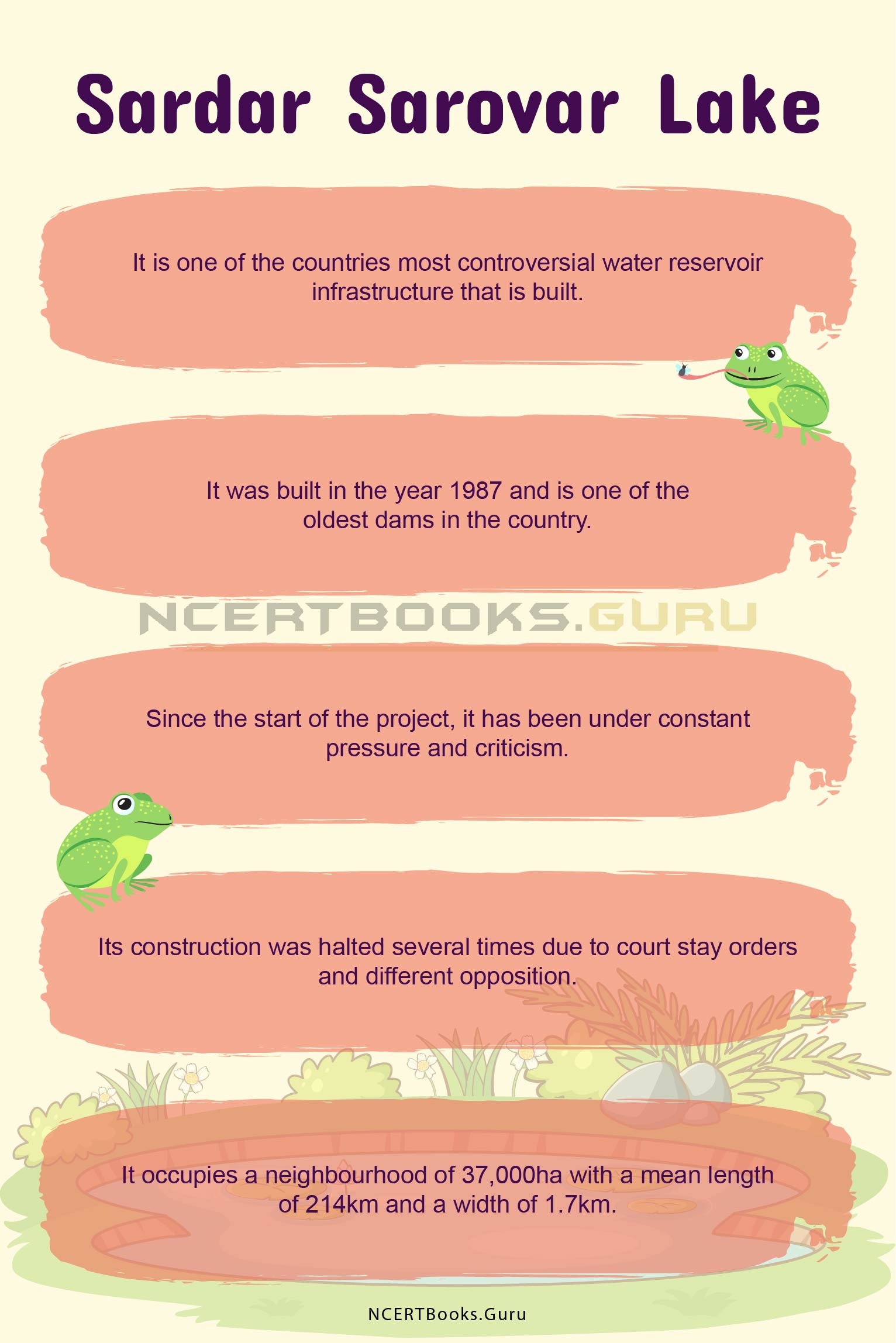
10 Lines on Sardar Sarover lake

  • It is one of the countries most controversial water reservoir infrastructure that is built.
  • It was built in the year 1987 and is one of the oldest dams in the country.
  •  Since the start of the project, it has been under constant pressure and criticism.
  • Its construction was halted several times due to court stay orders and different opposition.
  • It occupies a neighbourhood of 37,000ha with a mean length of 214km and a width of 1.7km.
  • The dam and therefore the reservoir periphery is installed with advanced seismological instruments for calculating the stresses.
  • Gujarat water system and Sewage Board (GWSSB) officials, who had taken water samples from the dam and therefore the central canal, concluded that the number of sulphides is extremely high within the water discharged from the Narmada dam.
  • The fish death rate is also a very high cause of less oxygen.
  • The water of the dam irrigates around 800,000 hectares of land in Gujarat and approx 2,46,000 hectares of land in Rajasthan.
  • The various unserved areas and farmers are also provided with electricity.

Sardar Sarovar Lake 2

FAQs on Sardar Sarovar Lake

Question 1.
Where is Sardar Sarover located?

Answer:
Sardar Sarover lake is a dam that is located on the Indian Narmada river in the state of Gujarat.

Question 2.
How much power does the Sardar Sarover dam make?

Answer:
The 250MW surface canal head powerhouse (CHPH) consists of 5, 50MW Kaplan turbines. By December 2004 and RBPH by November 2006 the CHPH power units were commissioned and the facility stations are connected to a Gas Insulated Switch Gear and bus bars switchyard complex in RBPH. Electricity is distributed to Madhya Pradesh at 57%, Gujarat at 16% and Maharashtra at 27% through a 400kV power cable.

Question 3.
What type of fishes are found in Sardar Sarovar?

Answer:
The fishes that are found in the dam are commercial fishes. And these fishes are finding it difficult to live in that habitat because of the deficient oxygen.

Question 4.
How much land is irrigated with the water from the Sardar Sarovar Dam?

Answer:
Around 800,000 hectares of land in Gujarat and approx 2,46,000 hectares of land in Rajasthan are irrigated by the water of the dam.

Chilika Lake History, Map, System, Pollution and Importance

Chilika Lake

Chilika Lake lies towards India’s East Coast, in the districts of Puri, Khurda and Ganjam of Orissa. While we call it a lake, it is a lagoon, and the largest coastal lagoon in India as well as the largest brackish water lagoon in the world. It spans an area of 1100 square kilometres and is home to several hundred species of birds and animals.

Chilika Lake Details

Name of the Lake Chilika Lake
Surface Area Approx 1100 sq km
Type of Lake Brackish or Brack Water Lake
Location Districts of Puri, Khurda and Ganjam, Odisha, India
Sources Various streams
Outflows Two outflows into Bay of Bengal-

  • Mouth at Arakhakuda
  • Mouth at Satapada

About Chilika Lake

Chilika Lake is in Orissa or Odisha and is the largest coastal lagoon in all of India and the largest brack water lagoon in the world. Brack water or brackish water refers to water bodies that are highly saline in nature, but not as much as ocean or seawater, and is usually the result of the mixing of seawater and freshwater. This is often seen in water bodies that originate from freshwater rivers and then open out into the sea, such as coastal lakes and lagoons like Chilika Lake.

This lake spans over a few hundred square kilometres, precisely 1100 square kilometres, and is an ecological temple. Over 160 species of birds come to Chilika lake during the migration season, and it is also the endemic home of several species of plants and animals that are now also under threat. Several endangered dolphins have been reported found at this lake, and various species of amphibians and reptiles, too, have been found.

Chilika Lake happens to be the first of various wetlands that are to be protected under the norms of the Ramsar Convention. According to this Convention, Chilika Lake as a wetland is deemed internationally important as of the year 1981. Aside from this, Chilika Lake is also tentatively a UNESCO World Heritage Site, further enhancing and emphasising upon the importance of this water body.

Have a look at the List of Important Lakes in India that you need to know for your competitive exams to score well.

Chilika Lake History

The history of the Chilika Lake has been extensively documented by the Archaeological Survey of India (ASI) through its three stages, as the ASI has divided it. It has been looked at from the point of view of Golabai Sasan, which is a village in the Khurda district of Odisha. It is situated on the banks of Malaguni River (a tributary of Daya River) and the prevalence of woodworking tools and shops here show that it was a boat-building centre, since the river connects the lake to other water bodies. It has even been deciphered that Golabai was a major maritime harbour and a port was located at Chilika Lake.

There is evidence to support this in a 10th century text known as the Brahmanda Purana, which mentions Chilika Lake in context with it being an important centre of trade and commerce. It has been vigilantly documented that several ships would park themselves at Chilika Lake, and many ships would make their way to Southeast Asia from here. To corroborate this, the “Bali Yatra” festival is still celebrated in the villages surrounding Chilika Lake – a festival commemorating a ‘journey to Bali’. These journeys to Southeast Asia commencing at Chilika Lake have also been documented by the Greek geographer Ptolemy.

While scientifically, it has been found through geological evidence, that Chilika Lake was a part of the Bay of Bengal, a 4th century legend tells us otherwise. It is quite worth it to hear what this legend is about, as it adds to the cultural significance of this lake.

This 4th century legend pertains to a pirate king called Raktabahu who had planned to attack Puri with his fleet, and to avoid his plans coming into the open, he took a detour into the mouth of the Bay of Bengal. What gave his intentions away was that the fleet didn’t dock, and this waried the villagers to gather their belongings and run away before they were attacked. At this, Raktabahu directed his anger to the sea, which opened up and swallowed his army, and thus, the legend says, led to the birth of the Chilika Lake.

Chilika Lake Map

Chilika Lake is located such that the Eastern Ghats hills are right by the western and southern parts of the lake. Towards the north is Rejhansa, a barrier beach between the lake and the Bay of Bengal. The northern shore of the lake lies in Khurda and the western shore lies in Ganjam district in Odisha. There is an outer channel of about 32 kilometres which connects Chilika Lake with the Bay of Bengal somewhere near Arakhuda village, at an opening called Magarmukha, but this is the old channel. A new one was artificially created by the local fishermen to gain regular access to the sea, at Satpada.

Here, it is important to note that the Chilika Lake is an ephemeral lake, meaning that its surge is constantly changing, especially seasonally. The depth of the lake varies between 0.3 metres to 4.2 metres. During the dry summer seasons, the depth falls to a minimum of 0.3 metres and maximum of 0.8 metres, while the rainy seasons sees heights like 1.8 metres to 4.2 metres.

There are several islands in and around Chilika Lake, which come together with the Peninsula of Malud to create what is termed the Krishnaprasad Revenue Block. The islands of Chilika Lake that hold the most significance are Parikud Island, Barahpura Island, Nalbana Island, Phulbari Island, Nuapada Island and Tampara Island. These channels are connected to the shores of the lake through narrow, shallow channels.

Chilika Lake System

The Chilika Lake is supplied its water by various sources from different directions. On the northern side, tributaries of the Mahanadi River provide a water supply to the lake. The Mahanadi River trifurcates at the city of Cuttack, and two out of three of its branches connect with the Chilika Lake. From the Mahanadi River is where Chilika Lake receives its highest amount of freshwater supply, which is 61 percent.

On the western side, there are approximately 52 river channels which feed Chilika Lake, from different sources including those from Tarimi River, Kusumi River, Janjira River and also Kansari River. Thirdly and lastly, the Bay of Bengal feeds the lake from the eastern side, which is where the saline part of the lake comes from. Thus, the Chilika Lake is brackish in nature, because of its different inflows.

Chilika Lake Pollution

Chilika Lake faces various threats to its ecosystem because of the pollutants brought in from the rivers that feed it. Since there are only smaller villages that surround Chilika Lake, the amount of industrial effluent and other similar pollutants is relatively less, and the pollutants which are there are majorly resultant of the rivers that bring them in.

The largest threat is, of course, plastic waste, because plastic waste exists everywhere, unlike factory waste. The amount of microplastics has severely increased over the last few years, which is mostly residual from the rivers and channels flowing into the lake.

To add to the pollutants that now exist in the lake, there is also a high level of turbidity in the water of Chilika Lake. Turbidity refers to when water bodies lose their translucency and become less and less see-through as they become more polluted.

Chilika Lake Importance

Chilika Lake is important in ecology because of the large number of species to which it is an endemic home. Fauna that flourishes in brackish water includes microalgae, marine seaweeds, sea grasses, fish, crab, etc. which are commonly found in Chilika Lake. Research finds that about 152 endangered dolphins have also been found swimming around the Chilika Lake, along with the 37 species of reptiles and amphibians to which it is home.

Chilika Lake is also an important place of bird migration, where species of birds all the way from places like Kazakhstan, the Caspian Sea, Aral Sea, Russia, the Himalayas, and several other places fly here. This includes about a 160 different species of birds, out of which almost half are terrestrial birds. There are 225 species of fish including phytoplanktons, and also more than 350 species of non-aquatic plants in the Chilika Lake.

The lake is an important place for humans along with animals and plants, as it provides sustenance in the form of fishing grounds for several fishermen in the surrounding villages of the lake. Chilika Lake was the first wetland of international importance which came under the provisions of the Ramsar Convention of 1981, and is also a tentative UNESCO World Heritage Site.

Short Essay on Chilika Lake – 200 Words

Chilika Lake is the largest brackish lake in the world and the largest coastal lake in India, spanning a surface area of about 1100 square kilometres. The Chilika Lake was the first wetland of international importance under the Ramsar Convention of 1981, and is even a tentative UNESCO World Heritage Site.

It is situated spanning three districts of Odisha, which are Puri, Khurda and Ganjam districts. It flows out into the Bay of Bengal from two mouths; one is situated at Arakhakuda, a small village, and the other at Satapada, another village.

The proportions of the lake change seasonally, where it is about 0.3 metres in depth at minimum during the dry summers, and goes to about 4.2 metres during the rainy seasons.

The Chilika Lake is fed by the offshoots of the Mahanadi River on the north, several river channels on the west, and the Bay of Bengal on the east, which all contribute to the brackish nature of the water.

Because of its brackish nature, it is home to several flora and fauna including microalgae, sea grasses, seaweeds, birds, reptiles and amphibians. It is also an important resource for fishermen that live in the surrounding villages of the lake.

Chilika Lake

10 Lines about Chilika Lake

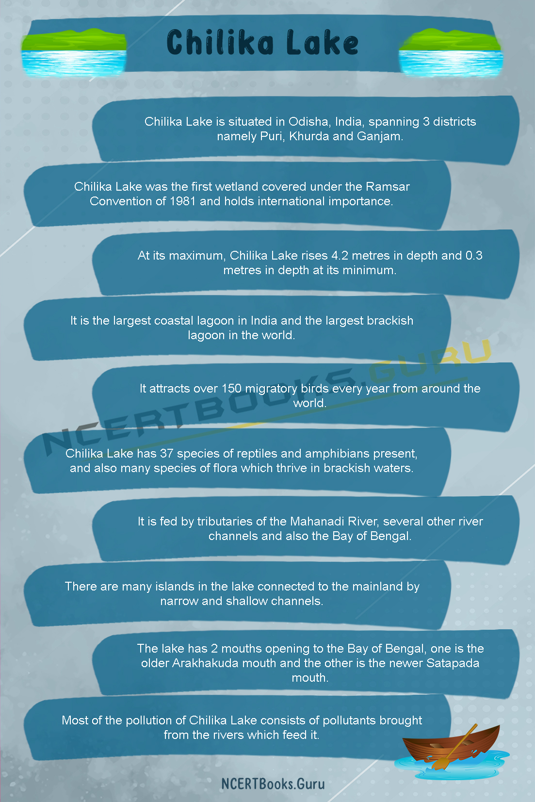
  1. Chilika Lake is situated in Odisha, India, spanning 3 districts namely Puri, Khurda and Ganjam.
  2. Chilika Lake was the first wetland covered under the Ramsar Convention of 1981 and holds international importance.
  3. At its maximum, Chilika Lake rises 4.2 metres in depth and 0.3 metres in depth at its minimum.
  4. It is the largest coastal lagoon in India and the largest brackish lagoon in the world.
  5. It attracts over 150 migratory birds every year from around the world.
  6. Chilika Lake has 37 species of reptiles and amphibians present, and also many species of flora which thrive in brackish waters.
  7. It is fed by tributaries of the Mahanadi River, several other river channels and also the Bay of Bengal.
  8. There are many islands in the lake connected to the mainland by narrow and shallow channels.
  9. The lake has 2 mouths opening to the Bay of Bengal, one is the older Arakhakuda mouth and the other is the newer Satapada mouth.
  10. Most of the pollution of Chilika Lake consists of pollutants brought from the rivers which feed it.

FAQs on Chilika Lake

Question 1.
What is the size of Chilika Lake?

Answer:
The size of Chilika Lake depends upon the season it is at the time:

  • In dry seasons:
    • It is 0.3 metres to 0.8 metres in depth
    • The surface area reduces to around 900 sq kms
  • In rainy seasons:
    • It is 1.8 metres to 4.2 metres in depth
    • The surface area surges to about 1100 sq kms

Question 2.
Where is Chilika Lake located?

Answer:
Chilika Lake is located in three districts of Odisha, India, which are Puri, Khurda and Ganjam. It opens at Arkhakuda village and also in Satapada village to the Bay of Bengal.

Question 3.
What kind of flora and fauna does Chilika Lake have?

Answer:
Chilika Lake, since it has brackish water, has a lot of microalgae, seaweed, etc. and also has several species of birds. It i widely known for its endemic and endangered Irrawaddy dolphins, which attract many tourists. There are also many species of reptiles and amphibians that are found in Chilika Lake.

Question 4.
Does Chilika Lake come under the Ramsar Convention?

Answer:
Yes, Chilika Lake was the first wetland that was declared to have international importance under the Ramsar Convention in the year 1981.